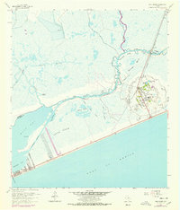
1962 Map of High Island
USGS Topo · Published 1978About this map
The salt dome of High Island rises prominently above the surrounding Texas coastal wetlands, serving as a hub for petroleum extraction and transit during the mid-twentieth century. This survey details a landscape where industry and geography are inseparable, featuring a dense Oil Field dotted with numerous Oil Wells and sludge pits on the elevated terrain. To the south, the community of Gilchrist sits along the Gulf shoreline, positioned at the edge of Rollover Bay.
Find a feature on this map
31 named features on this map. Tap any name to fly to it.
Don’t see what you’re looking for? This feature index may not catch every label — zoom into the map to look around manually.
Map Details
Editions of this 1962 High Island Map
2 editions found
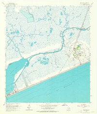
Other maps of this area

1931 · High Island
USGS Topo · 1:24,000

1931 · Frozen Point
USGS Topo · 1:24,000

1933 · Frozen Point
USGS Topo · 1:31,680

1933 · Caplen
USGS Topo · 1:31,680

1943 · High Island
USGS Topo · 1:31,680

1943 · Frozen Point
USGS Topo · 1:24,000
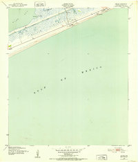
1943 · Caplen
USGS Topo · 1:24,000

1943 · Sea Breeze
USGS Topo · 1:24,000

1945 · Sea Breeze
USGS Topo · 1:31,680

1950 · Houston
USGS Topo · 1:250,000