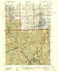
1940 Map of Highland Park
USGS Topo · Published 1940About this map
The dense urban grid north of Detroit is captured during a period of massive suburbanization, shown here in this preliminary edition. The map details the intersection of Highland Park, Hamtramck, and Ferndale, illustrating a landscape dominated by residential expansion and the maturing infrastructure of the 1930s. Notable institutional landmarks such as the Michigan State Fair Grounds and the Detroit City Airport anchor the southern and eastern quadrants, while the Detroit Golf Club and Palmer Park provide established green spaces amidst the burgeoning street network.
Find a feature on this map
150 named features on this map. Tap any name to fly to it.
Don’t see what you’re looking for? This feature index may not catch every label — zoom into the map to look around manually.
Map Details
Editions of this 1940 Highland Park Map
2 editions found
Other maps of this area

1905 · Detroit
USGS Topo · 1:62,500

1905 · Grosse Pointe
USGS Topo · 1:62,500

1908 · Rochester
USGS Topo · 1:62,500

1912 · Mt Clemens
USGS Topo · 1:62,500

1918 · Detroit
USGS Topo · 1:62,500

1918 · Grosse Pointe
USGS Topo · 1:62,500

1924 · Detroit
USGS Topo · 1:62,500

1929 · Mt Clemens
USGS Topo · 1:62,500

1934 · Detroit
USGS Topo · 1:62,500

1936 · Warren
USGS Topo · 1:31,680