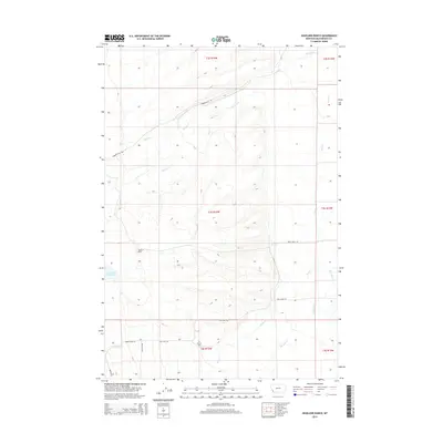
2014 Map of Highland Ranch
USGS Topo · Published 2014About this map
Highland Ranch sits at the heart of this high-elevation landscape in Beaverhead County, where the terrain is defined by the drainage patterns of Swamp Cr and Moose Cr. The area’s ranching legacy is etched into the land through names like the Hirschy Reservoir and the quiet presence of the Briston Cem near the southern boundary. This part of southwest Montana maintains a low-density settlement pattern, centered around these water sources and a network of arterial routes such as Gibbonsville Rd and Twin Lakes Rd. The geography transitions from valley floors to more complex ridges, with Rock Cr and Big Lake Cr carving through the eastern and southern sectors. The placement of the Briston Cem suggests a long-standing local community tied to the neighboring creek beds and cattle-rearing history of the Big Hole region.
Find a feature on this map
20 named features on this map. Tap any name to fly to it.
Don’t see what you’re looking for? This feature index may not catch every label — zoom into the map to look around manually.
Map Details
Editions of this 2014 Highland Ranch Map
This is the sole edition of this map. No revisions or reprints were ever made.
Other maps of this area

1955 · Dillon
USGS Topo · 1:250,000

1957 · Dillon
USGS Topo · 1:250,000

1958 · Dillon
USGS Topo · 1:250,000

1962 · Dillon
USGS Topo · 1:250,000
1962 · Wisdom
USGS Topo · 1:24,000
1962 · Mud Lake
USGS Topo · 1:24,000
1965 · Dillon
USGS Topo · 1:250,000
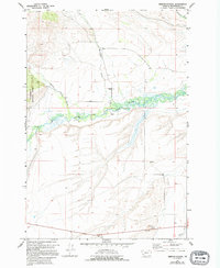
1966 · Gibbons School
USGS Topo · 1:24,000
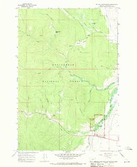
1966 · Big Hole Battlefield
USGS Topo · 1:24,000
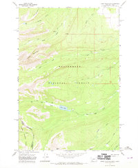
1966 · Jumbo Mountain
USGS Topo · 1:24,000