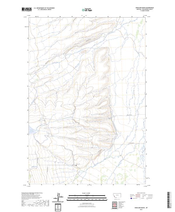
2024 Map of Highland Ranch
USGS Topo · Published 2024About this map
Briston Cem and the western edge of the Big Hole Valley define this landscape in the southern Bitterroot Range. The terrain is marked by a network of drainage systems including Swamp Creek, Moose Creek, and Mifflin Creek, which flow toward the more open ranching country to the east. Modern access through these drainages is provided by gravel routes like Gibbonsville Rd and Twin Lakes Rd, tracing the paths between mountain slopes and the valley floor. Toward the west, the land rises sharply, with Hirschy Reservoir serving as a significant water management feature for the region's agricultural interests. This 2024 survey documents the persistence of isolated family landmarks and the established road network that connects these high-elevation water sources to the surrounding cattle-ranching territory of Beaverhead County.
Find a feature on this map
17 named features on this map. Tap any name to fly to it.
Don’t see what you’re looking for? This feature index may not catch every label — zoom into the map to look around manually.
Map Details
Editions of this 2024 Highland Ranch Map
This is the sole edition of this map. No revisions or reprints were ever made.
Other maps of this area

1955 · Dillon
USGS Topo · 1:250,000

1957 · Dillon
USGS Topo · 1:250,000

1958 · Dillon
USGS Topo · 1:250,000

1962 · Dillon
USGS Topo · 1:250,000

1962 · Wisdom
USGS Topo · 1:24,000

1962 · Mud Lake
USGS Topo · 1:24,000

1965 · Dillon
USGS Topo · 1:250,000

1966 · Gibbons School
USGS Topo · 1:24,000

1966 · Big Hole Battlefield
USGS Topo · 1:24,000

1966 · Jumbo Mountain
USGS Topo · 1:24,000