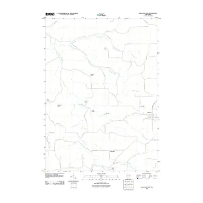
2010 Map of Highland West
USGS Topo · Published 2010About this map
Highland and the settlement of Centerville anchor the southeastern portion of this Iowa County landscape, where the topography is defined by a series of prominent ridges and drainage basins. Bohemian Ridge and Farmers Ridge stand as high ground above the many winding tributaries, including the Blue River, Sixmile Branch, and Big Spring Branch. The road network follows the ancient contours of the land, with routes like Snowbottom Rd and Dry Bone Rd connecting valley floors to the higher elevations.
Find a feature on this map
50 named features on this map. Tap any name to fly to it.
Don’t see what you’re looking for? This feature index may not catch every label — zoom into the map to look around manually.
Map Details
Editions of this 2010 Highland West Map
This is the sole edition of this map. No revisions or reprints were ever made.
Other maps of this area

1900 · Lancaster
USGS Topo · 1:125,000

1902 · Mineral Point
USGS Topo · 1:125,000

1904 · Lancaster
USGS Topo · 1:125,000

1905 · Richland Center
USGS Topo · 1:125,000

1908 · Lancaster
USGS Topo · 1:125,000

1933 · Boscobel
USGS Topo · 1:62,500

1952 · Montfort
USGS Topo · 1:24,000

1952 · Linden
USGS Topo · 1:24,000

1958 · La Crosse
USGS Topo · 1:250,000

1959 · Dubuque
USGS Topo · 1:250,000