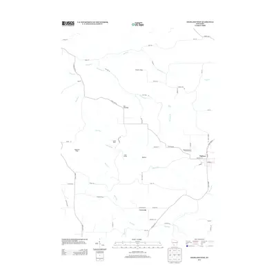
2013 Map of Highland West
USGS Topo · Published 2013About this map
Highland and the smaller settlement of Centerville anchor this portion of Iowa County, where the driftless landscape is defined by a dense network of ridges and deep drainage valleys. The terrain features prominent landmarks such as Bohemian Ridge, Farmers Ridge, and Red Oak Ridge, which separate the various branches of the Blue River. These watercourses, including Sixmile Br, Big Spring Br, and Big Rock Br, have carved a complex topography that includes distinctive formations like Sunset Rock and the drainage of Irish Hollow.
Find a feature on this map
53 named features on this map. Tap any name to fly to it.
Don’t see what you’re looking for? This feature index may not catch every label — zoom into the map to look around manually.
Map Details
Editions of this 2013 Highland West Map
This is the sole edition of this map. No revisions or reprints were ever made.
Other maps of this area

1900 · Lancaster
USGS Topo · 1:125,000

1902 · Mineral Point
USGS Topo · 1:125,000

1904 · Lancaster
USGS Topo · 1:125,000

1905 · Richland Center
USGS Topo · 1:125,000

1908 · Lancaster
USGS Topo · 1:125,000

1933 · Boscobel
USGS Topo · 1:62,500

1952 · Montfort
USGS Topo · 1:24,000

1952 · Linden
USGS Topo · 1:24,000

1958 · La Crosse
USGS Topo · 1:250,000

1959 · Dubuque
USGS Topo · 1:250,000