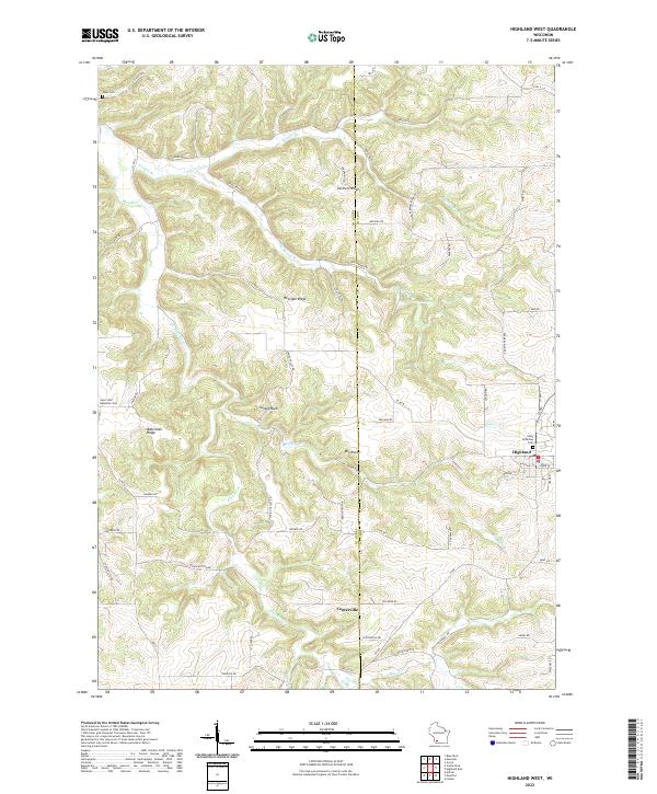
2022 Map of Highland West
USGS Topo · Published 2022About this map
The driftless area of southwest Wisconsin is defined here by the deeply etched drainage of the Blue River, where narrow ridges and steep hollows dictate the layout of local roads and farmsteads. Bohemian Ridge and Red Oak Ridge serve as high ground for connecting routes like Co Rd Q, while the valley floors are home to landmarks such as Sunset Rock and Big Rock. The settlement of Highland sits at the eastern edge of the survey, flanked by Saint Anthonys Cem, while the small community of Centerville occupies the southern valley. This landscape reflects a long history of ridge-top farming and valley-bottom grazing, with family-named features like Farmers Ridge and Irish Hollow underscoring the localized heritage of Grant and Iowa counties. Several historic burial sites, including Pipal Cem and Saint John Nepomuc Cem, remain as focal points for genealogical research in this rural corridor.
Find a feature on this map
64 named features on this map. Tap any name to fly to it.
Don’t see what you’re looking for? This feature index may not catch every label — zoom into the map to look around manually.
Map Details
Editions of this 2022 Highland West Map
This is the sole edition of this map. No revisions or reprints were ever made.
Other maps of this area

1900 · Lancaster
USGS Topo · 1:125,000

1902 · Mineral Point
USGS Topo · 1:125,000

1904 · Lancaster
USGS Topo · 1:125,000

1905 · Richland Center
USGS Topo · 1:125,000

1908 · Lancaster
USGS Topo · 1:125,000

1933 · Boscobel
USGS Topo · 1:62,500

1952 · Montfort
USGS Topo · 1:24,000

1952 · Linden
USGS Topo · 1:24,000

1958 · La Crosse
USGS Topo · 1:250,000

1959 · Dubuque
USGS Topo · 1:250,000