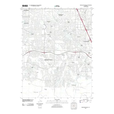
1949 Map of Highlands Ranch
USGS Topo · Published 1949About this map
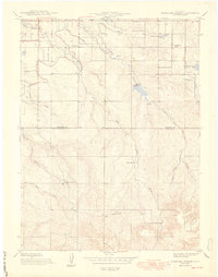
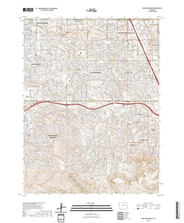
Highland Ranch and the surrounding high plains of Douglas and Arapahoe Counties appear here in a period of agricultural transitions, prior to the post-war suburban expansion south of Denver. The landscape is defined by extensive ranching operations and water management systems essential for the semi-arid climate. The Highline Canal winds across the northern sections, while smaller water storage features like Chamberlain No 2 Res and the proposed Kistler Reservoir Site illustrate the infrastructure supporting local agriculture.
Find a feature on this map
20 named features on this map. Tap any name to fly to it.
Don’t see what you’re looking for? This feature index may not catch every label — zoom into the map to look around manually.
Map Details
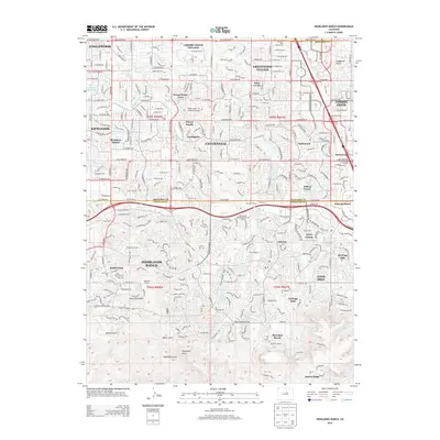
Editions of this 1949 Highlands Ranch Map
2 editions found
Historical Maps of Highlands Ranch Through Time
8 maps found
1949 Highlands Ranch
Douglas County, CO
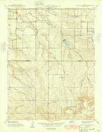
1957 Highlands Ranch
Douglas County, CO
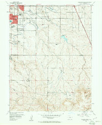
1965 Highlands Ranch
Douglas County, CO
2010 Highlands Ranch
Douglas County, CO
2013 Highlands Ranch
Douglas County, CO
2016 Highlands Ranch
Douglas County, CO
2019 Highlands Ranch
Douglas County, CO
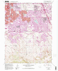
2022 Highlands Ranch
Douglas County, CO