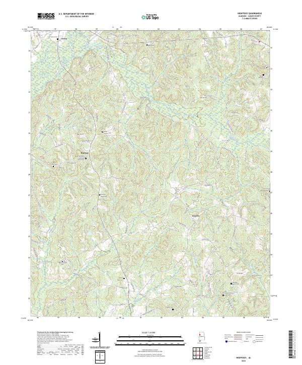
2024 Map of Hightogy
USGS Topo · Published 2024About this map
Hells Creek and Yellow Creek flow through this section of Lamar County, where family-named roads and scattered crossroads settlements define the landscape. This rural area, surveyed recently, preserves the layout of long-standing communities like Hightogy and Kingville. The terrain is marked by a high density of country churches and burial grounds, such as the Shiloh Methodist Episcopal Church and its associated Shiloh Methodist Episcopal Church Cem, which serve as vital anchors for local genealogy and land-use history.
Find a feature on this map
92 named features on this map. Tap any name to fly to it.
Don’t see what you’re looking for? This feature index may not catch every label — zoom into the map to look around manually.
Map Details
Editions of this 2024 Hightogy Map
This is the sole edition of this map. No revisions or reprints were ever made.
Other maps of this area

1953 · Birmingham
USGS Topo · 1:250,000

1953 · West Point
USGS Topo · 1:250,000

1956 · Birmingham
USGS Topo · 1:250,000

1957 · Birmingham
USGS Topo · 1:250,000

1958 · West Point
USGS Topo · 1:250,000

1963 · West Point
USGS Topo · 1:250,000

1967 · Hightogy
USGS Topo · 1:24,000

1967 · Kennedy
USGS Topo · 1:24,000

1967 · Bluff
USGS Topo · 1:24,000

1967 · Millport
USGS Topo · 1:24,000