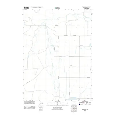
2012 Map of Hightower
USGS Topo · Published 2012About this map
The Laramie River and its various tributaries and diversions dominate this high-plains landscape in Platte County. The map details an intricate network of early 21st-century irrigation infrastructure, including the Mullen Ditch, Old Muleshoe Drain Ditch, and Iowa Lateral, which support the agricultural life around the settlement of Hightower. These man-made waterways connect natural and artificial reservoirs like Wheeler Lake and the O Bar O Number 3 Reservoir, illustrating the intensive water management required in this arid environment.
Find a feature on this map
35 named features on this map. Tap any name to fly to it.
Don’t see what you’re looking for? This feature index may not catch every label — zoom into the map to look around manually.
Map Details
Editions of this 2012 Hightower Map
This is the sole edition of this map. No revisions or reprints were ever made.
Other maps of this area

1896 · Hartville
USGS Topo · 1:125,000

1901 · Hartville
USGS Topo · 1:125,000

1951 · Dwyer
USGS Topo · 1:24,000
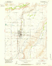
1951 · Wheatland
USGS Topo · 1:24,000

1953 · Lewis Flat
USGS Topo · 1:24,000

1953 · Hightower
USGS Topo · 1:24,000

1953 · Natwick
USGS Topo · 1:24,000

1953 · Squaw Rock
USGS Topo · 1:24,000

1953 · Ferguson Corner
USGS Topo · 1:24,000

1953 · Hightower SW
USGS Topo · 1:24,000