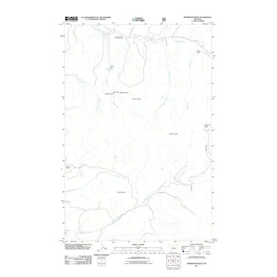
2011 Map of Highwood Baldy
USGS Topo · Published 2011About this map
Highwood Creek and its many tributaries, including Shaw Creek and Watkins Creek, carve a complex drainage network across this Montana landscape. The area serves as a communal hub for the rural population at the Highwood Creek Community Hall in the northern reaches, while the southern terrain is dominated by the prominence of Highwood Baldy and Pinewood Peak. The map reveals a land utilized for localized water management and transport, evidenced by Pirate Dam and Pirate Lake. Local history is anchored by the Big Willow Cemetery near the western boundary. A series of distinctive coulees, such as Big Coulee and Grouse Coulee, define the transition between the high peaks and the lower creek valleys, illustrating the varying elevations and the branching headwaters of the Little Belt Creek system.
Find a feature on this map
28 named features on this map. Tap any name to fly to it.
Don’t see what you’re looking for? This feature index may not catch every label — zoom into the map to look around manually.
Map Details
Editions of this 2011 Highwood Baldy Map
This is the sole edition of this map. No revisions or reprints were ever made.
Other maps of this area
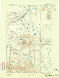
1890 · Fort Benton
USGS Topo · 1:250,000
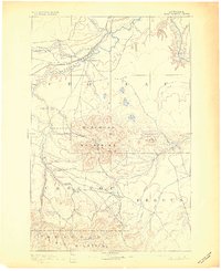
1892 · Fort Benton
USGS Topo · 1:250,000
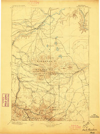
1897 · Fort Benton
USGS Topo · 1:250,000

1954 · Great Falls
USGS Topo · 1:250,000
1956 · Highwood
USGS Topo · 1:62,500
1956 · Belt
USGS Topo · 1:62,500
1957 · Great Falls
USGS Topo · 1:250,000
1975 · Belt SE
USGS Topo · 1:24,000
1975 · Belt NE
USGS Topo · 1:24,000
1978 · Arrow Peak
USGS Topo · 1:24,000