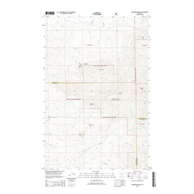
2014 Map of Highwood Baldy
USGS Topo · Published 2014About this map
Highwood Baldy stands as the prominent peak within this portion of the Highwood Mountains, a distinctive island range rising above the surrounding central Montana plains. The landscape is defined by its dramatic relief, where deep drainages like Big Coulee and Grouse Coulee cut through the high elevations of the Lewis & Clark National Forest. This 2014 survey documents the convergence of three counties—Cascade, Chouteau, and Judith Basin—demonstrating how these political boundaries follow the natural topography of the heights.
Find a feature on this map
42 named features on this map. Tap any name to fly to it.
Don’t see what you’re looking for? This feature index may not catch every label — zoom into the map to look around manually.
Map Details
Editions of this 2014 Highwood Baldy Map
This is the sole edition of this map. No revisions or reprints were ever made.
Other maps of this area
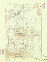
1890 · Fort Benton
USGS Topo · 1:250,000
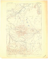
1892 · Fort Benton
USGS Topo · 1:250,000
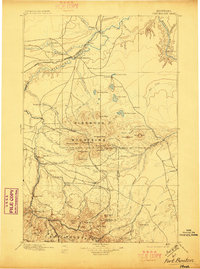
1897 · Fort Benton
USGS Topo · 1:250,000

1954 · Great Falls
USGS Topo · 1:250,000
1956 · Highwood
USGS Topo · 1:62,500
1956 · Belt
USGS Topo · 1:62,500
1957 · Great Falls
USGS Topo · 1:250,000
1975 · Belt SE
USGS Topo · 1:24,000
1975 · Belt NE
USGS Topo · 1:24,000
1978 · Arrow Peak
USGS Topo · 1:24,000