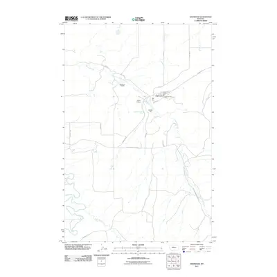
2011 Map of Highwood
USGS Topo · Published 2011About this map
Highwood serves as the central hub of this Chouteau County landscape, situated where the Highwood Creek valley meets the local road network. The settlement is anchored by essential community landmarks including the Highwood Post Office and the Highwood Vol Fire Dept. The surrounding terrain is defined by a series of deep drainages and named coulees, such as Deadman Coulee, Indian Coulee, and the prominently labeled Big Sag.
Find a feature on this map
25 named features on this map. Tap any name to fly to it.
Don’t see what you’re looking for? This feature index may not catch every label — zoom into the map to look around manually.
Map Details
Editions of this 2011 Highwood Map
This is the sole edition of this map. No revisions or reprints were ever made.
Other maps of this area

1890 · Fort Benton
USGS Topo · 1:250,000

1892 · Fort Benton
USGS Topo · 1:250,000

1897 · Fort Benton
USGS Topo · 1:250,000

1954 · Great Falls
USGS Topo · 1:250,000

1954 · Rice Reservoir
USGS Topo · 1:24,000

1954 · Lander Crossing
USGS Topo · 1:24,000

1954 · Waltham
USGS Topo · 1:24,000

1956 · Highwood
USGS Topo · 1:62,500

1956 · Belt
USGS Topo · 1:62,500

1957 · Great Falls
USGS Topo · 1:250,000