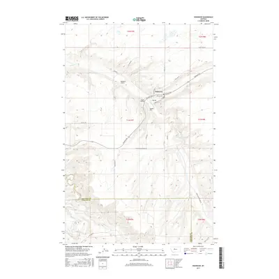
2017 Map of Highwood
USGS Topo · Published 2017About this map
Highwood serves as the central hub of this agricultural landscape in Chouteau County, where the plains give way to a network of dramatic coulees and creek beds. The map illustrates a ranching and farming community structured by historic routes like Stage Line Rd and Highwood Rd, which follow the natural contours of the land. The topography is defined by the Dunbar Hills and deep drainage features such as Deadman Coulee and Indian Coulee, which channel water toward Highwood Cr.
Find a feature on this map
30 named features on this map. Tap any name to fly to it.
Don’t see what you’re looking for? This feature index may not catch every label — zoom into the map to look around manually.
Map Details
Editions of this 2017 Highwood Map
This is the sole edition of this map. No revisions or reprints were ever made.
Other maps of this area
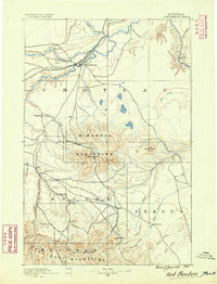
1890 · Fort Benton
USGS Topo · 1:250,000
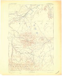
1892 · Fort Benton
USGS Topo · 1:250,000
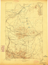
1897 · Fort Benton
USGS Topo · 1:250,000
1954 · Great Falls
USGS Topo · 1:250,000
1954 · Rice Reservoir
USGS Topo · 1:24,000
1954 · Lander Crossing
USGS Topo · 1:24,000
1954 · Waltham
USGS Topo · 1:24,000
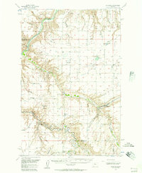
1956 · Highwood
USGS Topo · 1:62,500
1956 · Belt
USGS Topo · 1:62,500
1957 · Great Falls
USGS Topo · 1:250,000