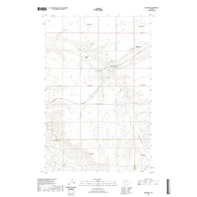
2020 Map of Highwood
USGS Topo · Published 2020About this map
The settlement of Highwood serves as the focal point for this section of central Montana, where the prairie breaks into the deeply incised drainages of Highwood Cr and Belt Creek. Situated near the intersection of Highwood Rd and Stage Line Rd, the community is defined by its relation to the surrounding coulees and elevated benches. The landscape transitions from the flats of Big Sag to more dramatic terrain features like Dunbar Hill and the winding path of Indian Coulee.
Find a feature on this map
32 named features on this map. Tap any name to fly to it.
Don’t see what you’re looking for? This feature index may not catch every label — zoom into the map to look around manually.
Map Details
Editions of this 2020 Highwood Map
This is the sole edition of this map. No revisions or reprints were ever made.
Other maps of this area

1890 · Fort Benton
USGS Topo · 1:250,000

1892 · Fort Benton
USGS Topo · 1:250,000

1897 · Fort Benton
USGS Topo · 1:250,000

1954 · Great Falls
USGS Topo · 1:250,000

1954 · Rice Reservoir
USGS Topo · 1:24,000

1954 · Lander Crossing
USGS Topo · 1:24,000

1954 · Waltham
USGS Topo · 1:24,000

1956 · Highwood
USGS Topo · 1:62,500

1956 · Belt
USGS Topo · 1:62,500

1957 · Great Falls
USGS Topo · 1:250,000