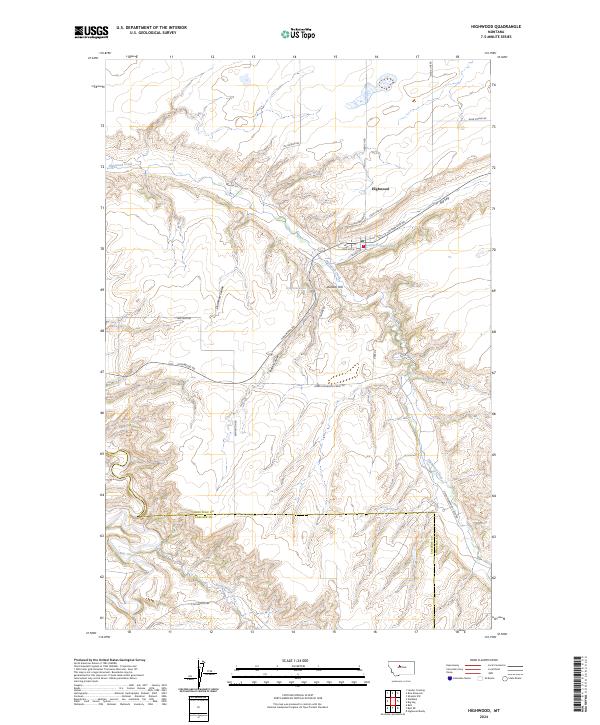
2024 Map of Highwood
USGS Topo · Published 2024About this map
Highwood centers this Chouteau County landscape, sitting along the winding course of Highwood Creek. The settlement pattern follows the drainage of the Highwood Mountains, with roads like Stage Line Rd and Highwood Rd connecting the village to surrounding ranch land and the prominent heights of Dunbar Hill. To the south, the terrain descends toward the Belt Creek canyon near the border of Cascade County, where North Willow Creek joins the larger drainage system. Significant geomorphological features such as the Big Sag and several deep coulees, including Deadman Coulee and Indian Coulee, define the erosion-carved plateaus. This modern survey illustrates how historically vital transportation corridors, such as Glab Coulee Rd and Mc Gowan Rd, continue to navigate the complex breaks and benchlands of north-central Montana.
Find a feature on this map
33 named features on this map. Tap any name to fly to it.
Don’t see what you’re looking for? This feature index may not catch every label — zoom into the map to look around manually.
Map Details
Editions of this 2024 Highwood Map
This is the sole edition of this map. No revisions or reprints were ever made.
Other maps of this area

1890 · Fort Benton
USGS Topo · 1:250,000

1892 · Fort Benton
USGS Topo · 1:250,000

1897 · Fort Benton
USGS Topo · 1:250,000

1954 · Great Falls
USGS Topo · 1:250,000

1954 · Rice Reservoir
USGS Topo · 1:24,000

1954 · Lander Crossing
USGS Topo · 1:24,000

1954 · Waltham
USGS Topo · 1:24,000

1956 · Highwood
USGS Topo · 1:62,500

1956 · Belt
USGS Topo · 1:62,500

1957 · Great Falls
USGS Topo · 1:250,000