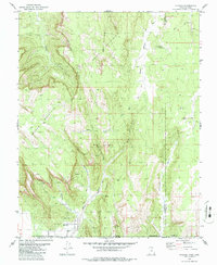
1980 Map of Hildale
USGS Topo · Published 1986About this map
Hildale sits at the base of the dramatic Vermilion Cliffs along the Utah-Arizona border in this 1980 survey. The settlement is defined by its proximity to steep escarpments and the drainage of Short Creek, which flows south out of the high plateau country. This landscape is a labyrinth of deep sandstone gorges including Water Canyon, Maxwell Canyon, and Skunk Canyon, where water sources like Birch Creek and various Springs were vital for life in this arid environment. The map details an intricate network of pack trails and jeep trails navigating the complex terrain around Canaan Mountain and South Mountain. Distinctive landforms such as The Beehive serve as natural landmarks, while numerous water points like Capples Rock Spring and Goat Springs indicate the traditional routes used by livestock and travelers moving through the canyons of Washington and Kane counties.
Find a feature on this map
26 named features on this map. Tap any name to fly to it.
Don’t see what you’re looking for? This feature index may not catch every label — zoom into the map to look around manually.
Map Details
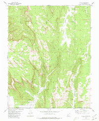
Editions of this 1980 Hildale Map
2 editions found
Other maps of this area

1885 · St. George
USGS Topo · 1:250,000

1886 · Kanab
USGS Topo · 1:250,000

1886 · Mt. Trumbull
USGS Topo · 1:250,000

1886 · Kaibab
USGS Topo · 1:250,000

1891 · St. George
USGS Topo · 1:250,000

1892 · Mt. Trumbull
USGS Topo · 1:250,000

1953 · Cedar City
USGS Topo · 1:250,000

1953 · Grand Canyon
USGS Topo · 1:250,000

1954 · La Verkin 4 SE
USGS Topo · 1:24,000
1954 · Short Creek NW
USGS Topo · 1:24,000