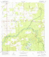
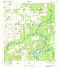
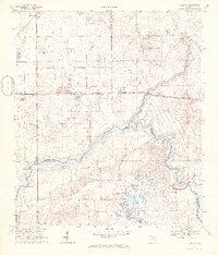
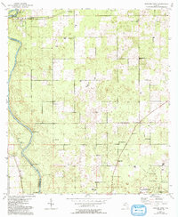
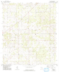
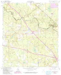
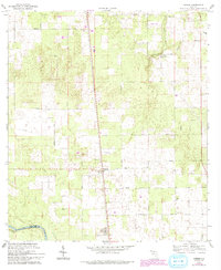
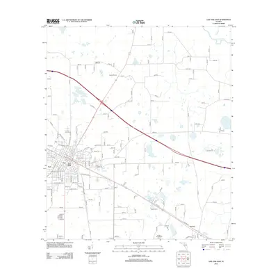
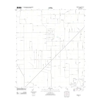
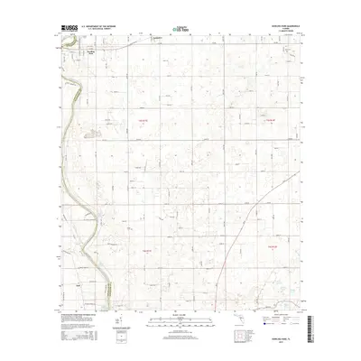
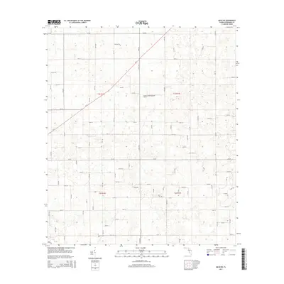
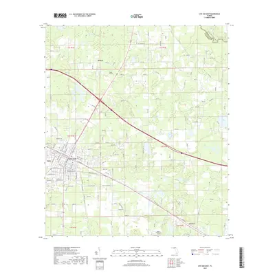
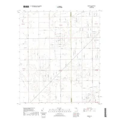
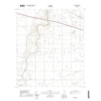
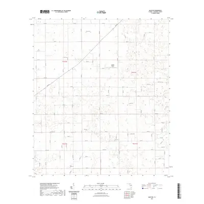
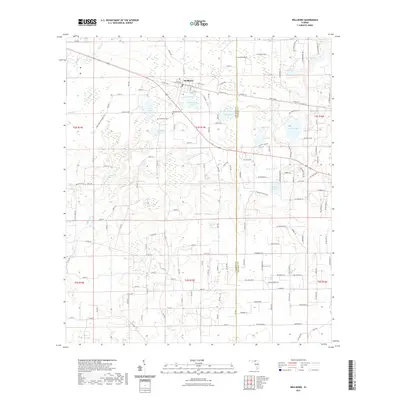
1968 Map of Hildreth
USGS Topo · Published 1977About this map
The Suwannee River and Santa Fe River converge in this northern Florida landscape, marking the borders of Suwannee, Columbia, and Gilchrist counties. The area is defined by its remarkable hydrology, featuring the headwaters of the Ichetucknee River and the prominent Ichetucknee Springs, alongside the nearby Blue Hole. These water features have long shaped local life, from the small settlements of Hildreth and Beachville to the rural congregations at Burlington Santa Fe Ch and Magnolia Ch.
Find a feature on this map
36 named features on this map. Tap any name to fly to it.
Don’t see what you’re looking for? This feature index may not catch every label — zoom into the map to look around manually.
Map Details
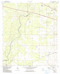
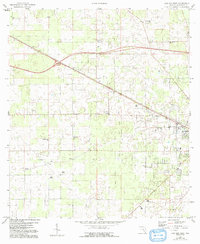
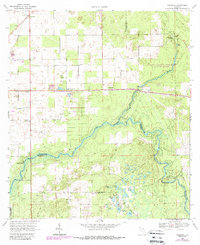
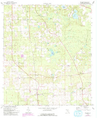
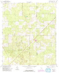
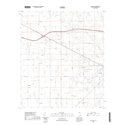
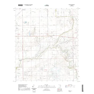
Editions of this 1968 Hildreth Map
4 editions found
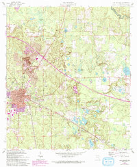
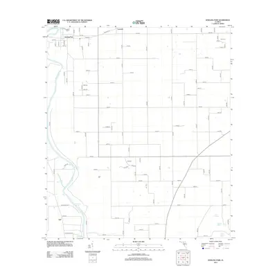
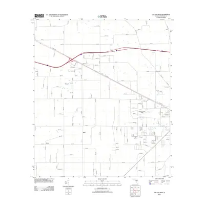
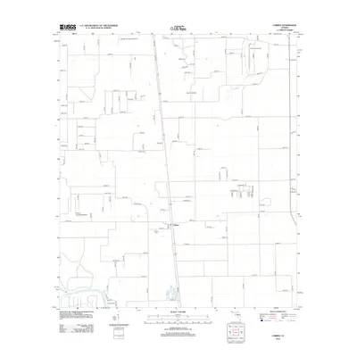
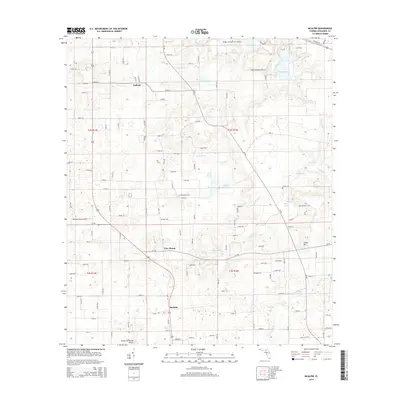
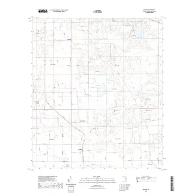
Historical Maps of Beachville Through Time
66 maps found
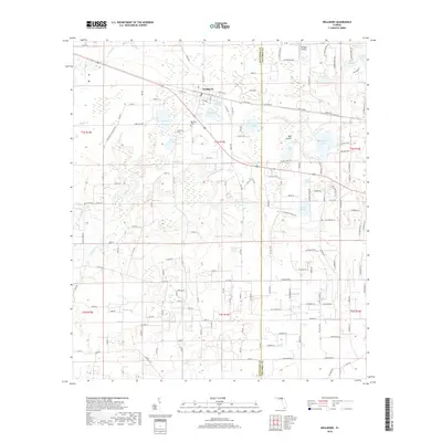
1954 Dowling Park
Suwannee County, FL
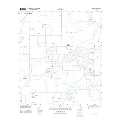
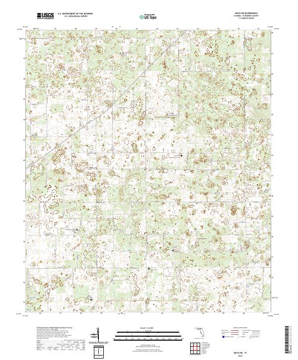
1955 Mayo NE
Suwannee County, FL
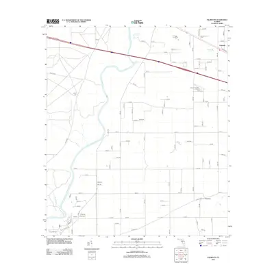
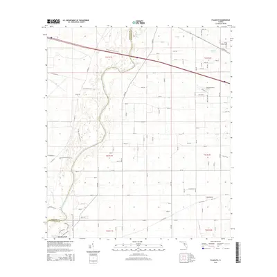
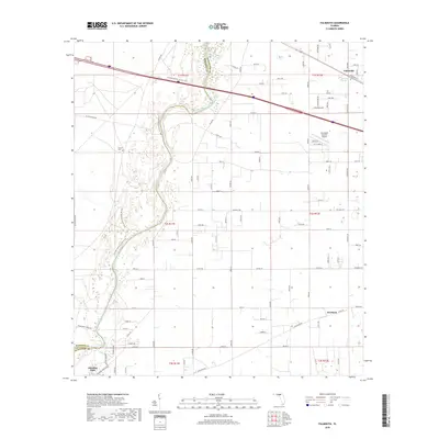
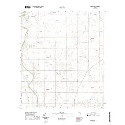
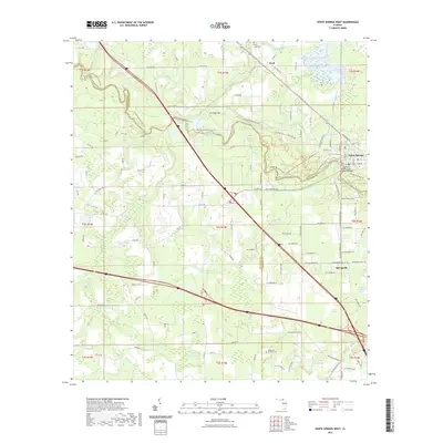
1959 Falmouth
Suwannee County, FL
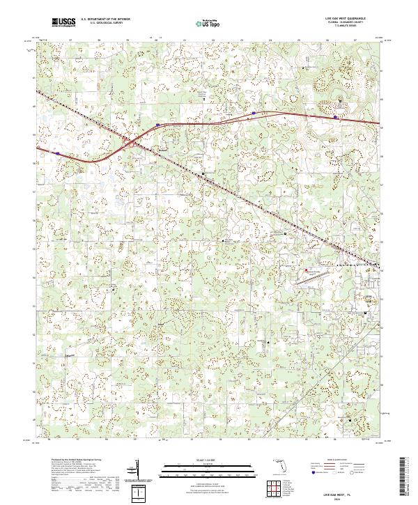
1959 Live Oak West
Suwannee County, FL
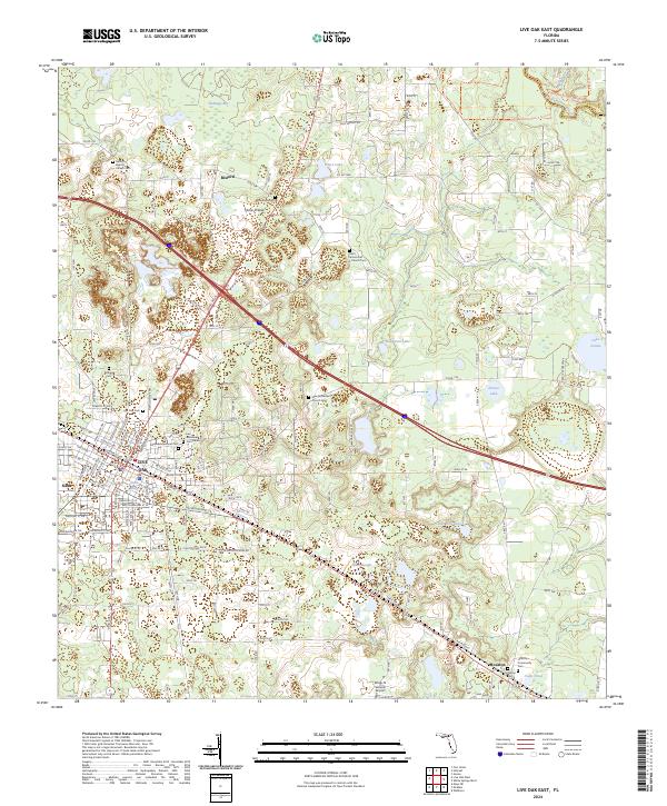
1961 Live Oak East
Suwannee County, FL
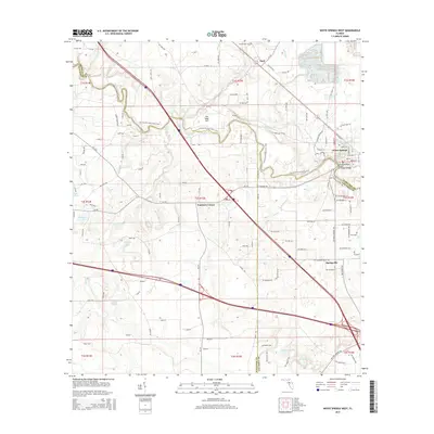
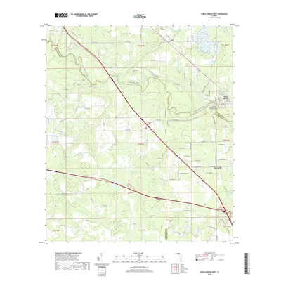
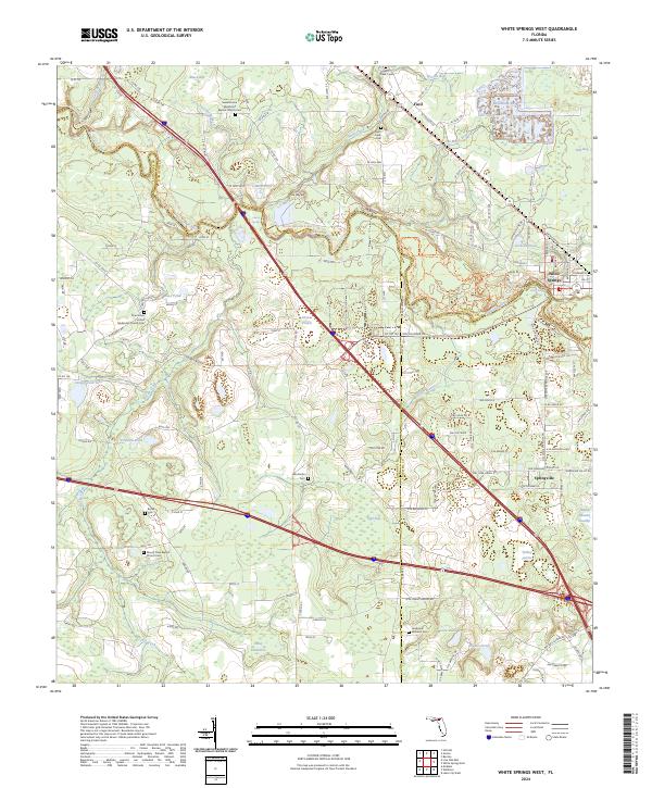
1961 White Springs West
Suwannee County, FL
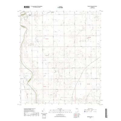
1968 Hildreth
Suwannee County, FL
1969 McAlpin
Suwannee County, FL
1969 O'Brien SE
Suwannee County, FL
1969 O'Brien
Suwannee County, FL

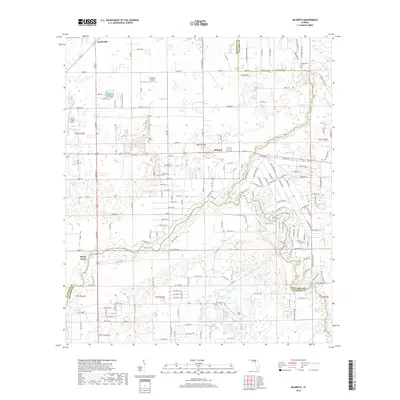
1969 Wellborn
Suwannee County, FL
2012 Dowling Park
Suwannee County, FL
2012 Falmouth
Suwannee County, FL
2012 Hildreth
Suwannee County, FL
2012 Live Oak East
Suwannee County, FL
2012 Live Oak West
Suwannee County, FL
2012 Mayo NE
Suwannee County, FL
2012 McAlpin
Suwannee County, FL
2012 O'Brien SE
Suwannee County, FL
2012 O'Brien
Suwannee County, FL
2012 Wellborn
Suwannee County, FL
2012 White Springs West
Suwannee County, FL
2015 Dowling Park
Suwannee County, FL
2015 Falmouth
Suwannee County, FL

2015 Hildreth
Suwannee County, FL
2015 Live Oak East
Suwannee County, FL
2015 Live Oak West
Suwannee County, FL
2015 Mayo NE
Suwannee County, FL
2015 McAlpin
Suwannee County, FL
2015 O'Brien SE
Suwannee County, FL

2015 O'Brien
Suwannee County, FL
2015 Wellborn
Suwannee County, FL
2015 White Springs West
Suwannee County, FL
2018 Dowling Park
Suwannee County, FL
2018 Falmouth
Suwannee County, FL
2018 Hildreth
Suwannee County, FL
2018 Live Oak East
Suwannee County, FL
2018 Live Oak West
Suwannee County, FL
2018 Mayo NE
Suwannee County, FL
2018 McAlpin
Suwannee County, FL
2018 O'Brien SE
Suwannee County, FL

2018 O'Brien
Suwannee County, FL
2018 Wellborn
Suwannee County, FL
2018 White Springs West
Suwannee County, FL
2021 Dowling Park
Suwannee County, FL
2021 Falmouth
Suwannee County, FL
2021 Hildreth
Suwannee County, FL
2021 Live Oak East
Suwannee County, FL
2021 Live Oak West
Suwannee County, FL
2021 Mayo NE
Suwannee County, FL
2021 McAlpin
Suwannee County, FL
2021 O'Brien SE
Suwannee County, FL
2021 O'Brien
Suwannee County, FL
2021 Wellborn
Suwannee County, FL
2021 White Springs West
Suwannee County, FL
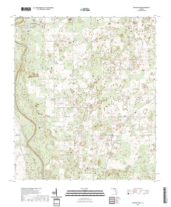
2024 Dowling Park
Suwannee County, FL
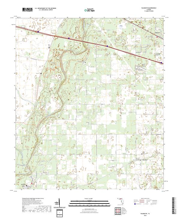
2024 Falmouth
Suwannee County, FL
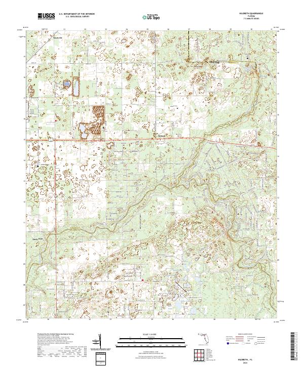
2024 Hildreth
Suwannee County, FL
2024 Live Oak East
Suwannee County, FL
2024 Live Oak West
Suwannee County, FL
2024 Mayo NE
Suwannee County, FL
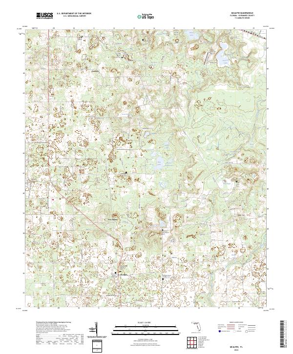
2024 McAlpin
Suwannee County, FL
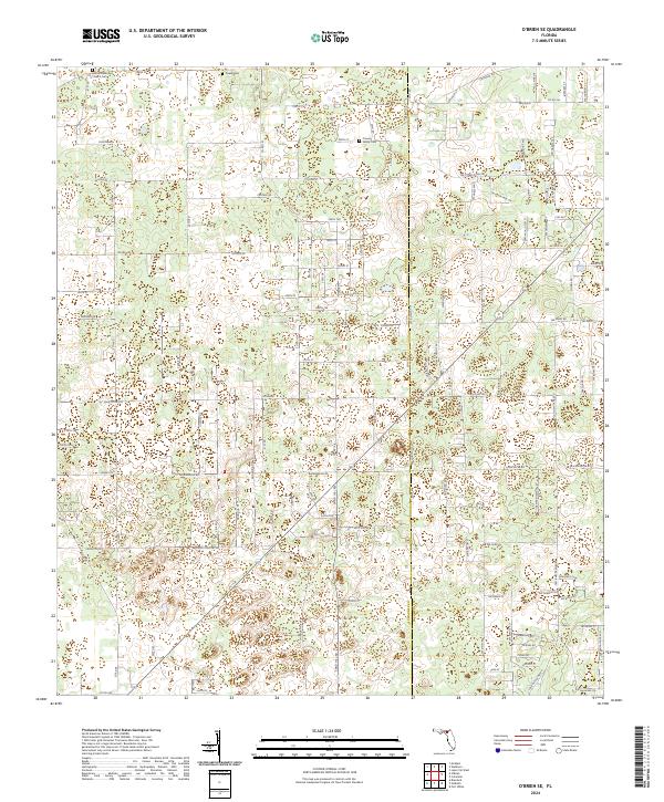
2024 O'Brien SE
Suwannee County, FL
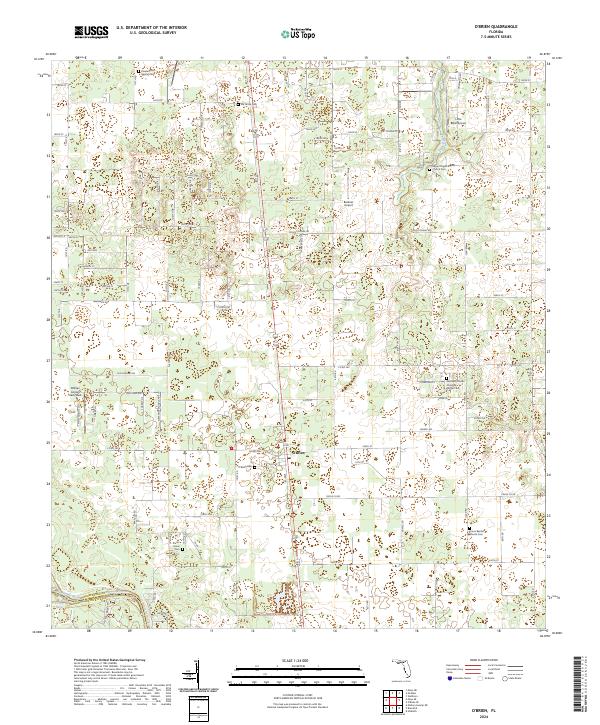
2024 O'Brien
Suwannee County, FL
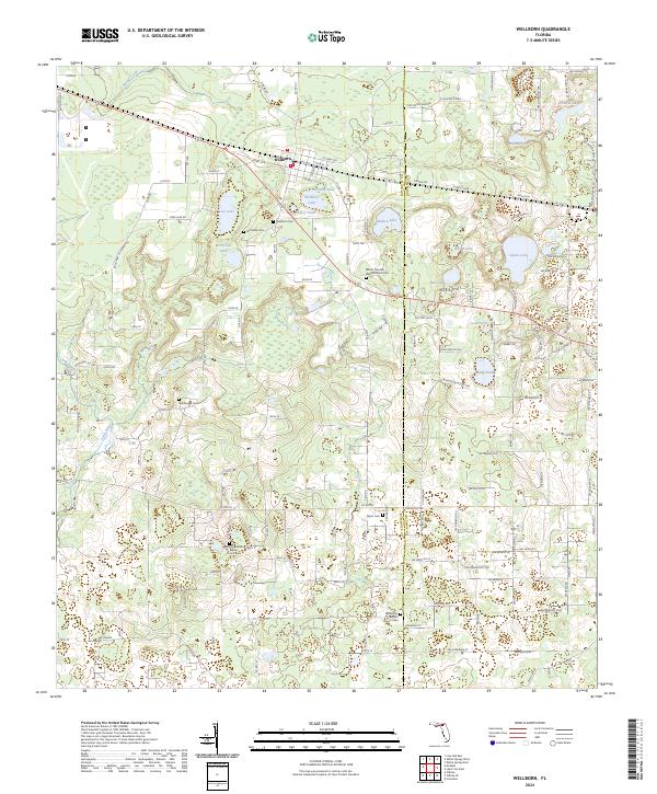
2024 Wellborn
Suwannee County, FL
2024 White Springs West
Suwannee County, FL