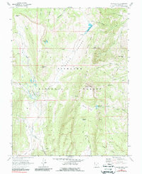
1968 Map of Hilgard Mtn
USGS Topo · Published 1987About this map
Fishlake National Forest encompasses this high-elevation landscape in Sevier County, defined by the broad expanse of the U M Plateau and the deeply carved Sheep Valley. The map, based on late 1960s field data, captures a remote wilderness accessed primarily by a network of Jeep Trails and Pack Trails that connect landmarks like Windstorm Peak and Hilgard Mtn. The presence of the Clear Creek Guard Station and scattered corrals suggests the seasonal rhythm of forest management and livestock grazing during this era.
Find a feature on this map
36 named features on this map. Tap any name to fly to it.
Don’t see what you’re looking for? This feature index may not catch every label — zoom into the map to look around manually.
Map Details
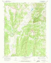
Editions of this 1968 Hilgard Mtn Map
2 editions found
Other maps of this area

1885 · Fish Lake
USGS Topo · 1:250,000

1896 · Fish Lake
USGS Topo · 1:250,000

1922 · Emery No.3
USGS Topo · 1:31,680

1925 · Acord Lakes
USGS Topo · 1:62,500

1956 · Salina
USGS Topo · 1:250,000

1960 · Salina
USGS Topo · 1:250,000

1962 · Salina
USGS Topo · 1:250,000

1966 · Yogo Creek
USGS Topo · 1:24,000
1966 · Gooseberry Creek
USGS Topo · 1:24,000

1968 · Johns Peak
USGS Topo · 1:24,000