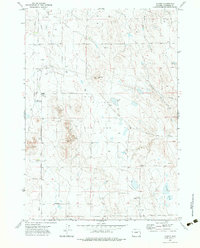
1971 Map of Hilight
USGS Topo · Published 1983About this map
The Hilight Oil and Gas Field dominates this central Campbell County landscape, reflecting the intensive energy development of the early 1970s. The settlement of Hilight and the specialized Hilight Gas Plant serve as the industrial anchors for a network of pipelines and wells that crisscross the high plains. Despite this industrial presence, the traditional ranching heritage of the region remains visible through family-named landmarks like Springers Ranch, Hillside Ranch, and Jacobs Ranch.
Find a feature on this map
22 named features on this map. Tap any name to fly to it.
Don’t see what you’re looking for? This feature index may not catch every label — zoom into the map to look around manually.
Map Details
Editions of this 1971 Hilight Map
2 editions found
Other maps of this area

1955 · Newcastle
USGS Topo · 1:250,000

1958 · Newcastle
USGS Topo · 1:250,000

1971 · Open A Ranch
USGS Topo · 1:24,000

1971 · Rough Creek
USGS Topo · 1:24,000

1971 · Reno Junction
USGS Topo · 1:24,000

1971 · Reno Reservoir
USGS Topo · 1:24,000

1971 · Piney Canyon NW
USGS Topo · 1:24,000

1971 · Little Thunder Reservoir
USGS Topo · 1:24,000
1971 · Eagle Rock
USGS Topo · 1:24,000
1971 · Hilight
USGS Topo · 1:24,000