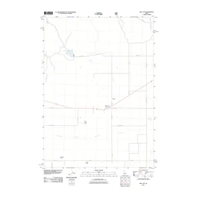
2011 Map of Hill City
USGS Topo · Published 2011About this map
Hill City sits as the central point of this agricultural and ranching landscape in southern Idaho, situated along the corridor of Old Hwy 68. The settlement is supported by a network of rural roads such as Swamp Rd and Vodermeier Rd, which connect the town to the local ranching infrastructure. Just north of the town center, the Hill City Cemetery serves as a significant landmark for those researching family history in Elmore County.
Find a feature on this map
24 named features on this map. Tap any name to fly to it.
Don’t see what you’re looking for? This feature index may not catch every label — zoom into the map to look around manually.
Map Details
Editions of this 2011 Hill City Map
This is the sole edition of this map. No revisions or reprints were ever made.
Other maps of this area
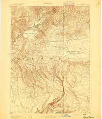
1892 · Camas Prairie
USGS Topo · 1:125,000
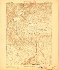
1893 · Camas Prairie
USGS Topo · 1:125,000

1955 · Hailey
USGS Topo · 1:250,000
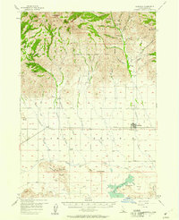
1957 · Fairfield
USGS Topo · 1:62,500
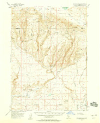
1957 · Davis Mountain
USGS Topo · 1:62,500
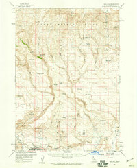
1958 · King Hill
USGS Topo · 1:62,500

1959 · Hailey
USGS Topo · 1:250,000

1962 · Hailey
USGS Topo · 1:250,000
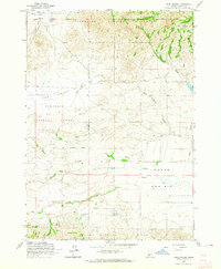
1963 · High Prairie
USGS Topo · 1:24,000
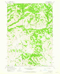
1963 · Deer Mountain
USGS Topo · 1:24,000