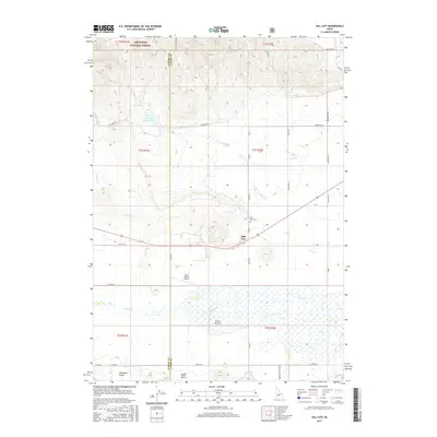
2017 Map of Hill City
USGS Topo · Published 2017About this map
Hill City sits at the northern edge of the broad Camas Prairie, where the flat valley floor meets the rising foothills of the Sawtooth National Forest. This 2017 survey shows a landscape defined by ranching and water management, with numerous creeks like Cow Cr and Camas Cr feeding the agricultural lands south of town. The transition from the high, forested peaks in the north to the wide expanse of the prairie is marked by drainage features such as Blackburn Gulch and Boyer Gulch. Local landmarks like the Hill City Cem and the Tracy Ranch Airport reflect the community's established footprint amidst this expansive terrain. A grid of county roads, including Old Hwy 68 and Co Line Rd, connects isolated ranching operations across the Elmore and Camas County line.
Find a feature on this map
41 named features on this map. Tap any name to fly to it.
Don’t see what you’re looking for? This feature index may not catch every label — zoom into the map to look around manually.
Map Details
Editions of this 2017 Hill City Map
This is the sole edition of this map. No revisions or reprints were ever made.
Other maps of this area
1892 · Camas Prairie
USGS Topo · 1:125,000
1893 · Camas Prairie
USGS Topo · 1:125,000

1955 · Hailey
USGS Topo · 1:250,000
1957 · Fairfield
USGS Topo · 1:62,500
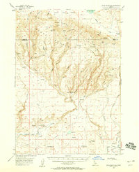
1957 · Davis Mountain
USGS Topo · 1:62,500
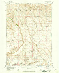
1958 · King Hill
USGS Topo · 1:62,500

1959 · Hailey
USGS Topo · 1:250,000

1962 · Hailey
USGS Topo · 1:250,000
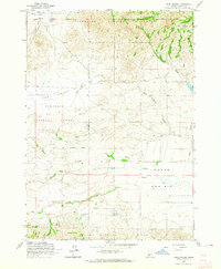
1963 · High Prairie
USGS Topo · 1:24,000
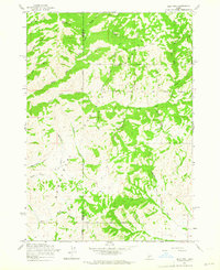
1963 · Deer Mountain
USGS Topo · 1:24,000