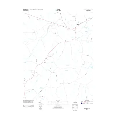
2013 Map of Hillcrest
USGS Topo · Published 2013About this map
Guinea Mills and Cotton Town anchor this rural landscape in central Virginia, where the headwaters of several drainages shape the local geography. The map reveals a transition from the Cumberland SF in the north toward small agricultural and residential hubs like McRae and Hawk. Water is a defining element of the terrain, with the Willis River and Little Willis River winding through the western portion, while Big Guinea Cr and Little Guinea Cr flow through the central reaches. Private agricultural history is noted at the Amos Dairy Farm, while local hydrology is further punctuated by numerous named bodies such as Oak Hill Lake, Swans Lake, and T Edward Stimpson Pond. The road network, including Locust Grove Rd and Ca Ira Rd, connects these scattered settlements across the Piedmont countryside.
Find a feature on this map
77 named features on this map. Tap any name to fly to it.
Don’t see what you’re looking for? This feature index may not catch every label — zoom into the map to look around manually.
Map Details
Editions of this 2013 Hillcrest Map
This is the sole edition of this map. No revisions or reprints were ever made.
Other maps of this area

1891 · Palmyra
USGS Topo · 1:125,000

1891 · Farmville
USGS Topo · 1:125,000

1893 · Farmville
USGS Topo · 1:125,000

1895 · Palmyra
USGS Topo · 1:125,000

1897 · Palmyra
USGS Topo · 1:125,000

1947 · Roanoke
USGS Topo · 1:250,000

1950 · Dillwyn
USGS Topo · 1:62,500

1958 · Farmville
USGS Topo · 1:62,500

1958 · Jetersville
USGS Topo · 1:62,500

1958 · Dillwyn
USGS Topo · 1:62,500