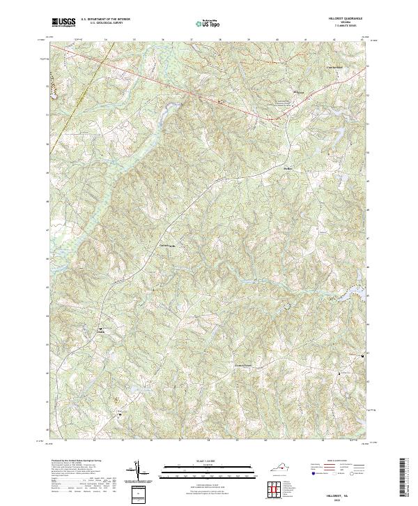
2022 Map of Hillcrest
USGS Topo · Published 2022About this map
The Willis River and its numerous tributaries, including Little Guinea Cr and Horsepen Cr, carve a complex drainage pattern across this portion of Cumberland County. Small rural hubs such as Guinea Mills, Cotton Town, and Hawk are connected by a network of state and local roads like Ca Ira Rd and Cumberland Rd. The landscape is dotted with generational landmarks essential for genealogical research, including Antioch Cem, Browns Cem, and Centenary Cem. Near the northern border, the Southside Virginia Community College Cumberland Community Center stands near the community of Hillcrest. Large water bodies such as Oak Hill Lake and Swans Lake interrupt the woodlands, while the boundary with Buckingham Co is clearly delineated along the western edge of the survey.
Find a feature on this map
85 named features on this map. Tap any name to fly to it.
Don’t see what you’re looking for? This feature index may not catch every label — zoom into the map to look around manually.
Map Details
Editions of this 2022 Hillcrest Map
This is the sole edition of this map. No revisions or reprints were ever made.
Other maps of this area

1891 · Palmyra
USGS Topo · 1:125,000

1891 · Farmville
USGS Topo · 1:125,000

1893 · Farmville
USGS Topo · 1:125,000

1895 · Palmyra
USGS Topo · 1:125,000

1897 · Palmyra
USGS Topo · 1:125,000

1947 · Roanoke
USGS Topo · 1:250,000

1950 · Dillwyn
USGS Topo · 1:62,500

1958 · Farmville
USGS Topo · 1:62,500

1958 · Jetersville
USGS Topo · 1:62,500

1958 · Dillwyn
USGS Topo · 1:62,500