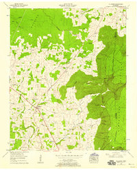
1953 Map of Hillsboro
USGS Topo · Published 1958About this map
The Cumberland Plateau rises sharply above the Tennessee Valley on this 1953 survey, creating a dramatic geographic divide in Coffee and Grundy counties. The Dixie Highway West cuts through the lowland corridor, anchoring the settlement at Hillsboro, while smaller clusters like Winton Town and Stephenson are linked by a network of rural roads and family-named cemeteries. The landscape is defined by its water sources, from the Blue Spring to the subterranean Lusk Cave nestled in the shadow of Big Butte.
Find a feature on this map
53 named features on this map. Tap any name to fly to it.
Don’t see what you’re looking for? This feature index may not catch every label — zoom into the map to look around manually.
Map Details
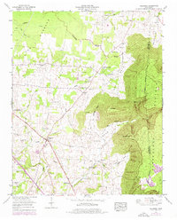
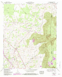
Editions of this 1953 Hillsboro Map
3 editions found
Other maps of this area

1893 · Mc Minnville
USGS Topo · 1:125,000

1895 · Mc Minnville
USGS Topo · 1:125,000

1895 · Sewanee
USGS Topo · 1:125,000

1913 · Hollow Springs
USGS Topo · 1:62,500

1936 · Alto
USGS Topo · 1:24,000

1936 · Fredonia
USGS Topo · 1:24,000

1936 · Manchester
USGS Topo · 1:24,000

1936 · Burrow Cove
USGS Topo · 1:24,000

1936 · Morrison
USGS Topo · 1:24,000

1936 · Hillsboro
USGS Topo · 1:24,000