
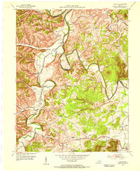
1951 Map of Hillsboro
USGS Topo · Published 1953About this map
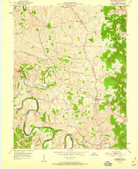
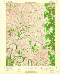
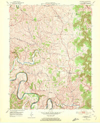
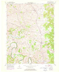
The winding Licking River forms a serpentine border between Fleming and Bath counties on this mid-century topographic survey. Centered on the community of Hillsboro, the landscape is defined by the tight drainage patterns of numerous small waterways, including Locust Creek, Hillsboro Branch, and Buttermilk Branch. These tributaries carve through the upland terrain, where small settlements like Poplar Plains and Sunset are connected by a network of rural roads and light-duty routes.
Find a feature on this map
24 named features on this map. Tap any name to fly to it.
Don’t see what you’re looking for? This feature index may not catch every label — zoom into the map to look around manually.
Map Details
Editions of this 1951 Hillsboro Map
5 editions found
Other maps of this area

1929 · Salt Lick
USGS Topo · 1:62,500

1934 · Salt Lick
USGS Topo · 1:62,500

1951 · Plummers Landing
USGS Topo · 1:24,000

1951 · Burtonville
USGS Topo · 1:24,000

1951 · Flemingsburg
USGS Topo · 1:24,000

1952 · Owingsville
USGS Topo · 1:24,000

1952 · Sherburne
USGS Topo · 1:24,000

1952 · Elizaville
USGS Topo · 1:24,000

1953 · Farmers
USGS Topo · 1:24,000
1953 · Colfax
USGS Topo · 1:24,000