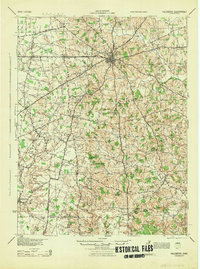
1944 Map of Hillsboro
USGS Topo · Published 1944About this map
Hillsboro serves as the focal point of this Highland County landscape, where the Baltimore and Ohio and Norfolk and Western railroads intersect. The map documents a dense network of rural infrastructure during the 1940s, featuring an exceptional number of local schoolhouses such as Brier College Sch, Kansas Cottage Sch, and High College Sch. These small, localized educational centers, combined with institutions like the Highland County Infirmary, suggest a well-established community structure prior to the mid-century consolidation of rural districts.
Find a feature on this map
86 named features on this map. Tap any name to fly to it.
Don’t see what you’re looking for? This feature index may not catch every label — zoom into the map to look around manually.
Map Details
Editions of this 1944 Hillsboro Map
This is the sole edition of this map. No revisions or reprints were ever made.
Other maps of this area
1907 · Blanchester
USGS Topo · 1:62,500
1915 · Bainbridge
USGS Topo · 1:48,000
1916 · Peebles
USGS Topo · 1:62,500
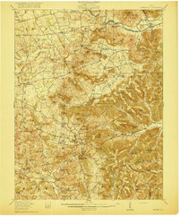
1917 · Bainbridge
USGS Topo · 1:62,500
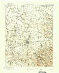
1917 · Greenfield
USGS Topo · 1:62,500
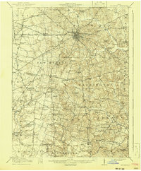
1917 · Hillsboro
USGS Topo · 1:62,500
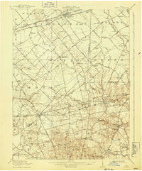
1917 · Sabina
USGS Topo · 1:62,500
1917 · Sardinia
USGS Topo · 1:62,500
1918 · Peebles
USGS Topo · 1:62,500
1918 · Seaman
USGS Topo · 1:62,500