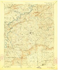
1896 Map of Hillsville
USGS Topo · Published 1923About this map
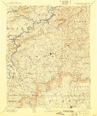
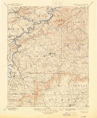
The New River winds through the Blue Ridge foothills in this late nineteenth-century survey, anchoring a landscape defined by iron and lead production. Early industrial activity is prominent along the river and its tributaries, with Pierce Furnace, Boom Furnace, and Radford Furnace marking the era's mining and smelting operations. The village of Hillsville serves as the central hub of Carroll County, surrounded by a complex terrain of named knobs and gaps that shaped regional travel. Transport across the deep river valleys relied on numerous historical crossings such as Howards Ferry, Jackson Ferry, and Jones Ford, long before modern bridges spanned these waters. Genealogists and historians can trace the early layout of Old Town and Sylvatus, or locate family-named landmarks like Spargers Mill and Hawks Mill near the Virginia-North Carolina boundary line. The Norfolk and Western RR skirts the northwestern corner, connecting the iron-rich hills of Wythe and Pulaski counties to broader markets.
Find a feature on this map
89 named features on this map. Tap any name to fly to it.
Don’t see what you’re looking for? This feature index may not catch every label — zoom into the map to look around manually.
Map Details
Editions of this 1896 Hillsville Map
7 editions found

Other maps of this area

1887 · Pocahontas
USGS Topo · 1:125,000

1889 · Hillsville
USGS Topo · 1:125,000

1889 · Wytheville
USGS Topo · 1:125,000

1889 · Wilkesboro
USGS Topo · 1:125,000

1890 · Dublin
USGS Topo · 1:125,000

1890 · Christiansburg
USGS Topo · 1:125,000

1891 · Pocahontas
USGS Topo · 1:125,000

1891 · Dublin
USGS Topo · 1:125,000

1891 · Wilkesboro
USGS Topo · 1:125,000

1891 · Yadkinville
USGS Topo · 1:125,000