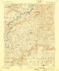
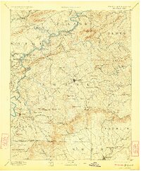
1896 Map of Hillsville
USGS Topo · Published 1940About this map
Industrial furnaces and river crossings define this late-19th-century study of the Blue Ridge foothills. The New River serves as a central artery for commerce and transportation, supporting multiple early industrial sites like Radford Furnace, Barren Spg. Furnace, and Ivanhoe Furnace. To the west, the Norfolk and Western R.R. connects northern settlements such as Max Meadows and Grahams Forge to broader markets.
Find a feature on this map
156 named features on this map. Tap any name to fly to it.
Don’t see what you’re looking for? This feature index may not catch every label — zoom into the map to look around manually.
Map Details
Editions of this 1896 Hillsville Map
7 editions found

Other maps of this area

1887 · Pocahontas
USGS Topo · 1:125,000

1889 · Hillsville
USGS Topo · 1:125,000

1889 · Wytheville
USGS Topo · 1:125,000

1889 · Wilkesboro
USGS Topo · 1:125,000

1890 · Dublin
USGS Topo · 1:125,000

1890 · Christiansburg
USGS Topo · 1:125,000

1891 · Pocahontas
USGS Topo · 1:125,000

1891 · Dublin
USGS Topo · 1:125,000

1891 · Wilkesboro
USGS Topo · 1:125,000

1891 · Yadkinville
USGS Topo · 1:125,000