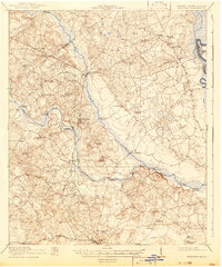
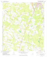
1920 Map of Hilltonia
USGS Topo · Published 1942About this map
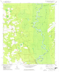
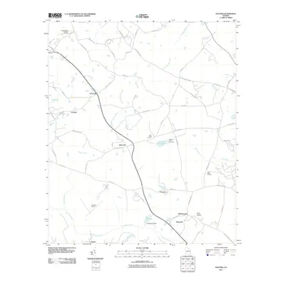
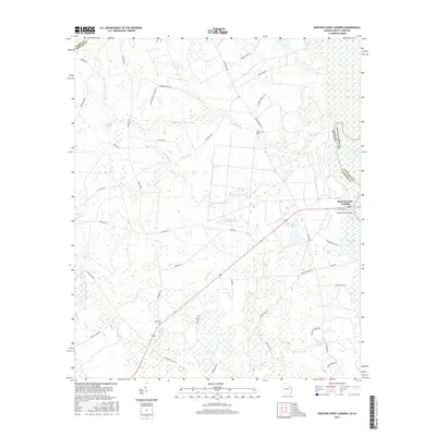
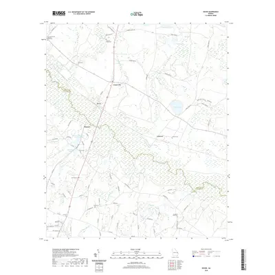
Hilltonia serves as a central hub in this survey of Screven County, Georgia, conducted just after the First World War. The landscape is defined by the winding course of the Savannah River on the eastern edge and the diagonal path of the Savannah and Atlanta railroad. This era shows a rural economy deeply reliant on river crossings and rail access, evidenced by the numerous named bridges such as Elliston Bridge and Jacksonboro Bridge, alongside established riverside points like Burtons Ferry and Kittles Landing.
Find a feature on this map
58 named features on this map. Tap any name to fly to it.
Don’t see what you’re looking for? This feature index may not catch every label — zoom into the map to look around manually.
Map Details
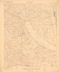
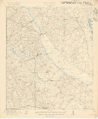
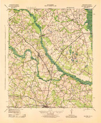
Editions of this 1920 Hilltonia Map
4 editions found

Historical Maps of Sylvania Through Time
56 maps found
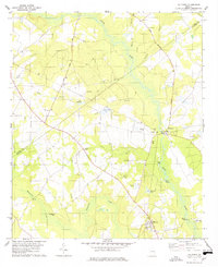
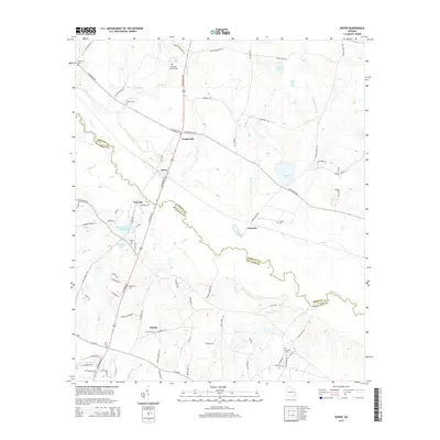
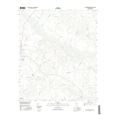
1920 Hilltonia
Screven County, GA
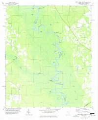
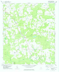
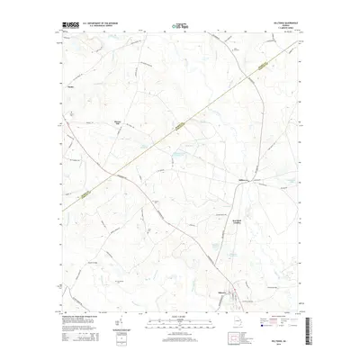
1943 Hilltonia
Screven County, GA
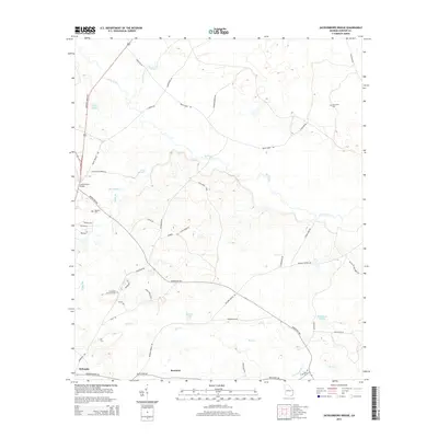
1978 Blue Springs Landing
Screven County, GA
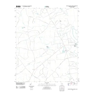
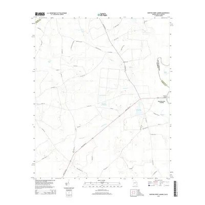
1978 Brier Creek Landing
Screven County, GA
1978 Burtons Ferry Landing
Screven County, GA
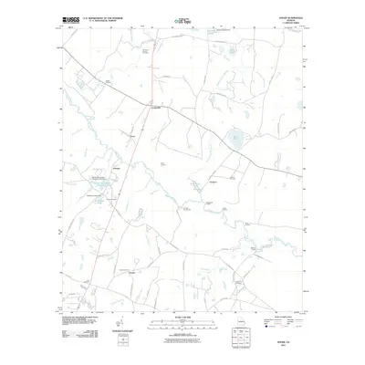
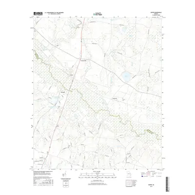
1978 Dover
Screven County, GA
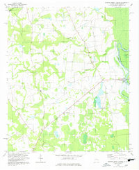
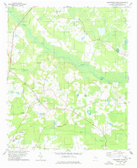
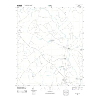
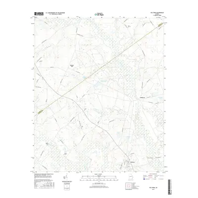
1978 Hilltonia
Screven County, GA
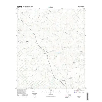
1978 Hunters
Screven County, GA
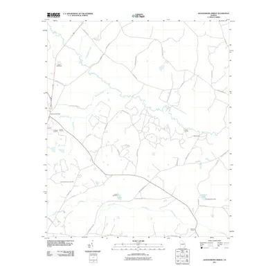
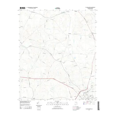
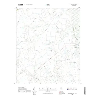
1978 Jacksonboro Bridge
Screven County, GA
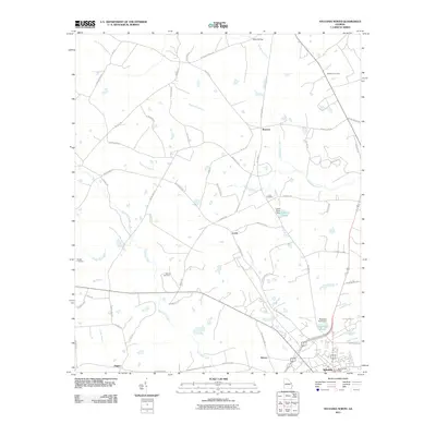
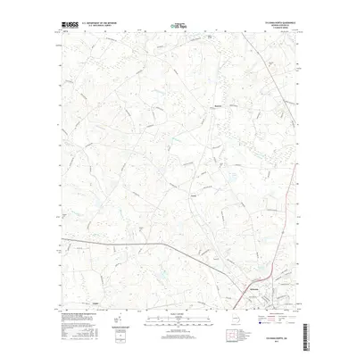
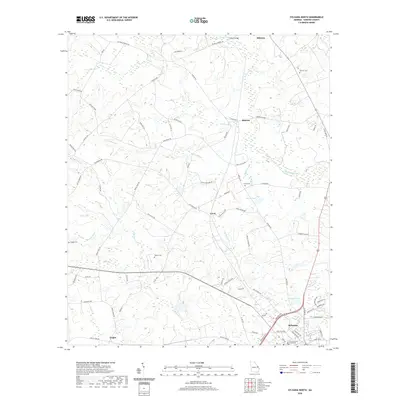
1978 Sylvania North
Screven County, GA
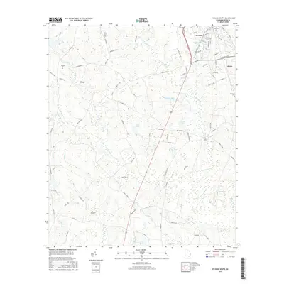
1978 Sylvania South
Screven County, GA

2011 Blue Springs Landing
Screven County, GA

2011 Brier Creek Landing
Screven County, GA
2011 Burtons Ferry Landing
Screven County, GA
2011 Dover
Screven County, GA
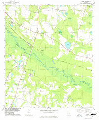
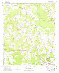
2011 Hilltonia
Screven County, GA
2011 Hunters
Screven County, GA
2011 Jacksonboro Bridge
Screven County, GA
2011 Sylvania North
Screven County, GA

2011 Sylvania South
Screven County, GA

2014 Blue Springs Landing
Screven County, GA

2014 Brier Creek Landing
Screven County, GA
2014 Burtons Ferry Landing
Screven County, GA
2014 Dover
Screven County, GA
2014 Hilltonia
Screven County, GA

2014 Hunters
Screven County, GA
2014 Jacksonboro Bridge
Screven County, GA
2014 Sylvania North
Screven County, GA

2014 Sylvania South
Screven County, GA

2017 Blue Springs Landing
Screven County, GA

2017 Brier Creek Landing
Screven County, GA
2017 Burtons Ferry Landing
Screven County, GA
2017 Dover
Screven County, GA
2017 Hilltonia
Screven County, GA
2017 Hunters
Screven County, GA
2017 Jacksonboro Bridge
Screven County, GA
2017 Sylvania North
Screven County, GA
2017 Sylvania South
Screven County, GA

2020 Blue Springs Landing
Screven County, GA

2020 Brier Creek Landing
Screven County, GA
2020 Burtons Ferry Landing
Screven County, GA
2020 Dover
Screven County, GA
2020 Hilltonia
Screven County, GA
2020 Hunters
Screven County, GA
2020 Jacksonboro Bridge
Screven County, GA
2020 Sylvania North
Screven County, GA

2020 Sylvania South
Screven County, GA
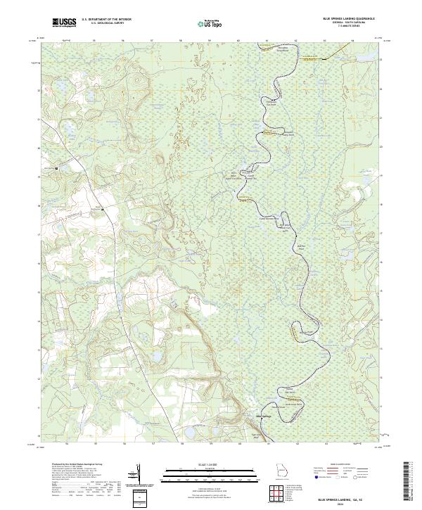
2024 Blue Springs Landing
Screven County, GA
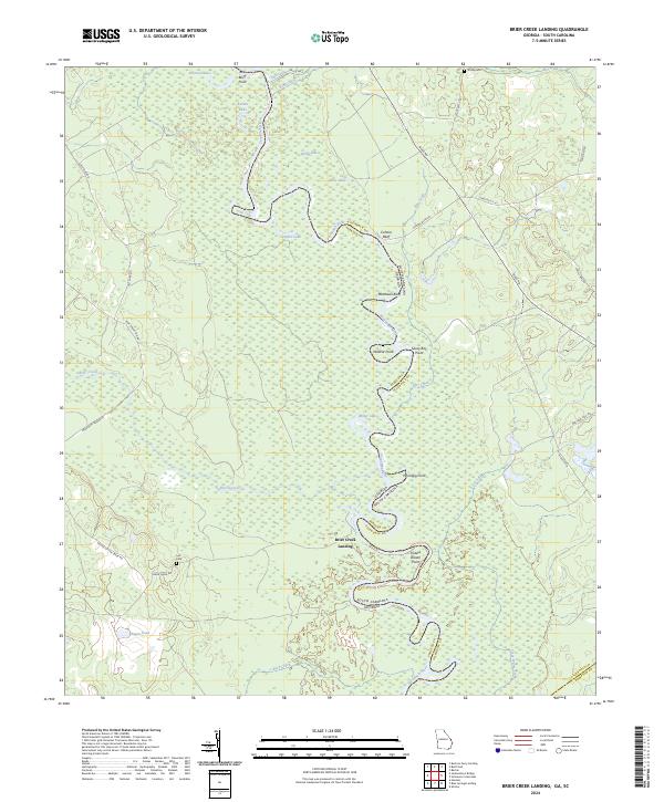
2024 Brier Creek Landing
Screven County, GA
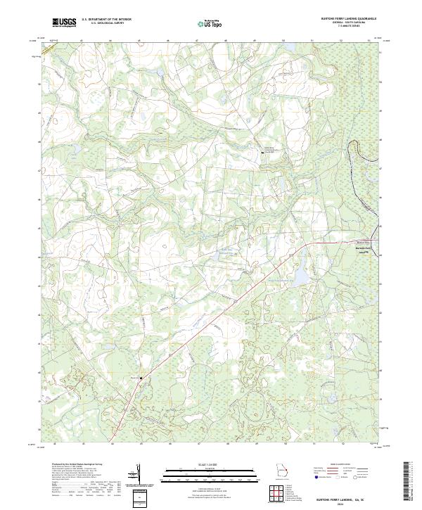
2024 Burtons Ferry Landing
Screven County, GA
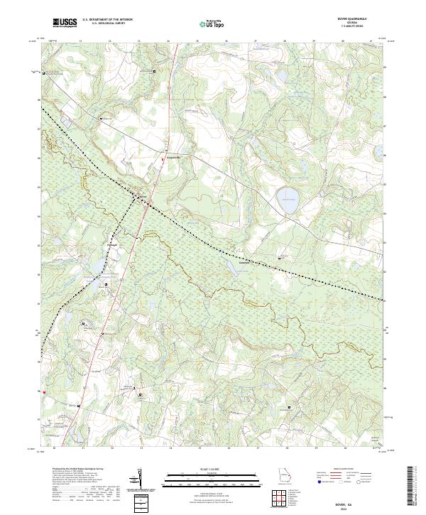
2024 Dover
Screven County, GA
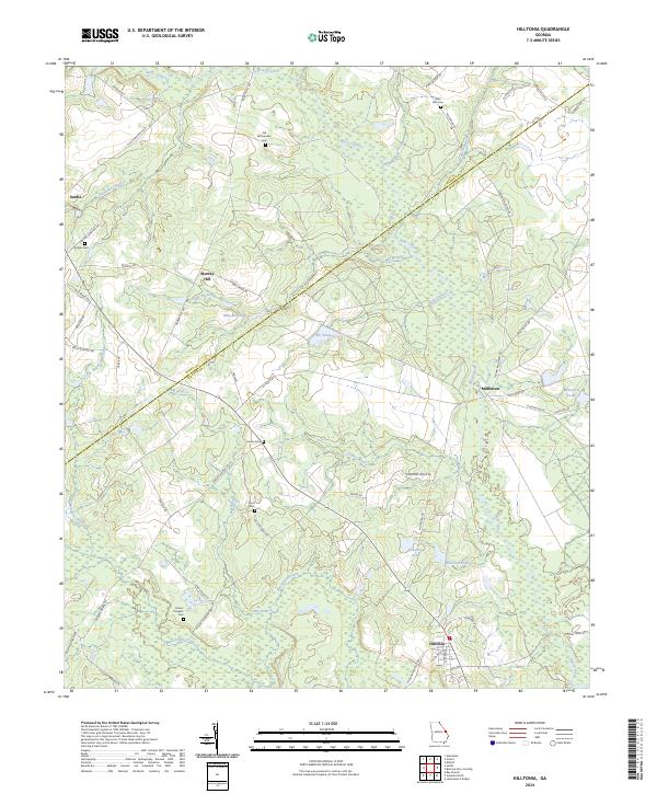
2024 Hilltonia
Screven County, GA
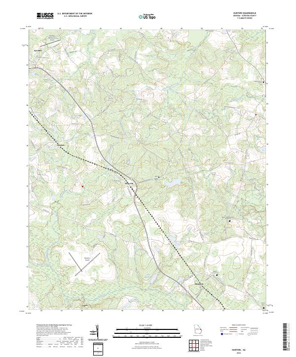
2024 Hunters
Screven County, GA
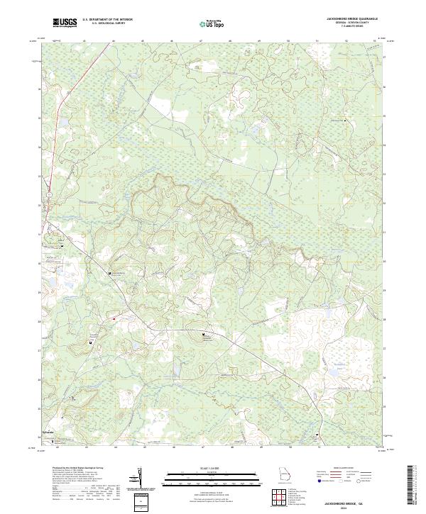
2024 Jacksonboro Bridge
Screven County, GA
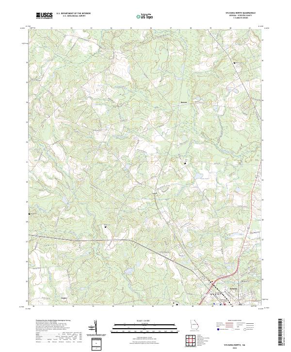
2024 Sylvania North
Screven County, GA
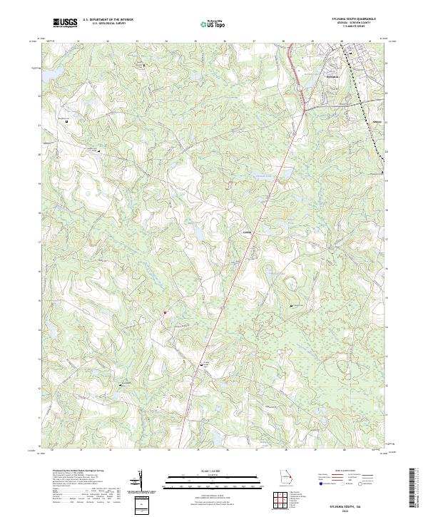
2024 Sylvania South
Screven County, GA