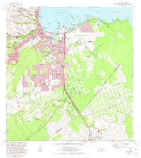
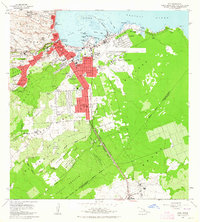
1981 Map of Hilo
USGS Topo · Published 1983About this map
Hilo serves as the focal point of this 1980s coastal survey, revealing the urban expansion of Hawaii's second-largest city across its intricate waterfront and volcanic landscape. The map meticulously documents the transition from the industrial harbor at Hilo Bay to the institutional and academic corridors of the University of Hawaii. A significant geological marker, the Lava Flow of 1881, cuts a distinct path toward the city, illustrating the constant relationship between the island's volcanic activity and its urban development.
Find a feature on this map
62 named features on this map. Tap any name to fly to it.
Don’t see what you’re looking for? This feature index may not catch every label — zoom into the map to look around manually.
Map Details
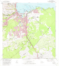
Editions of this 1981 Hilo Map
2 editions found
Other maps of this area

1915 · Honomu
USGS Topo · 1:62,500

1917 · Hilo
USGS Topo · 1:62,500

1924 · Makuu
USGS Topo · 1:62,500

1932 · Hilo
USGS Topo · 1:62,500

1954 · Hawaii North
USGS Topo · 1:250,000

1959 · Hawaii North
USGS Topo · 1:250,000

1961 · Hawaii North
USGS Topo · 1:250,000
1963 · Puu Makaala
USGS Topo · 1:24,000
1963 · Piihonua
USGS Topo · 1:24,000
1963 · Hilo
USGS Topo · 1:24,000