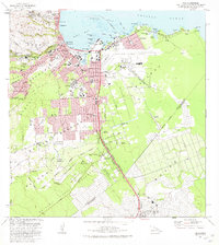
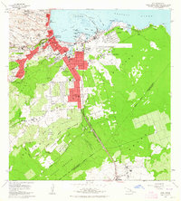
1981 Map of Hilo
USGS Topo · Published 1981About this map
The coastal city of Hilo and the industrial corridors of the South Hilo and Puna Districts are detailed here following the revisions of the late 1970s. The landscape is defined by the proximity of volcanic activity and maritime commerce, notably the massive path of the Lava Flow of 1881 which cuts across the Ponahawai Homesteads. Along the shore, the deep waters of Hilo Bay and Kuhio Bay support a network of parks and gardens, including the Liliuokalani Gardens and Waiakea State Park.
Find a feature on this map
82 named features on this map. Tap any name to fly to it.
Don’t see what you’re looking for? This feature index may not catch every label — zoom into the map to look around manually.
Map Details
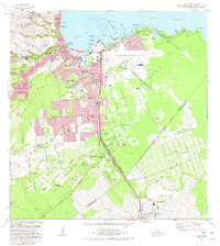
Editions of this 1981 Hilo Map
2 editions found
Other maps of this area

1915 · Honomu
USGS Topo · 1:62,500

1917 · Hilo
USGS Topo · 1:62,500

1924 · Makuu
USGS Topo · 1:62,500

1932 · Hilo
USGS Topo · 1:62,500

1954 · Hawaii North
USGS Topo · 1:250,000

1959 · Hawaii North
USGS Topo · 1:250,000

1961 · Hawaii North
USGS Topo · 1:250,000
1963 · Puu Makaala
USGS Topo · 1:24,000
1963 · Piihonua
USGS Topo · 1:24,000
1963 · Hilo
USGS Topo · 1:24,000