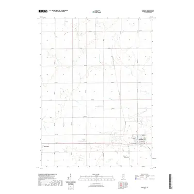
2021 Map of Hinckley
USGS Topo · Published 2021About this map
Hinckley and Waterman anchor this DeKalb County landscape, where the agricultural grid is defined by the drainage of several prominent waterways. Somonauk Cr and Little Rock Cr wind through the southern half of the quadrangle, while W Br Big Rock Cr and Battle Cr cut through the northern sections. This 2021 survey shows a stable rural community where aviation and local history remain intertwined. Small private airstrips like Walter Airport and Hinckley Airport sit alongside long-established landmarks, including Immanuel Lutheran Cem and Greenwood Cem. The layout of the villages, particularly the residential streets of Hinckley north of E Lincoln Ave, demonstrates how these settlements have maintained their historic compact footprints amidst the surrounding farmland.
Find a feature on this map
41 named features on this map. Tap any name to fly to it.
Don’t see what you’re looking for? This feature index may not catch every label — zoom into the map to look around manually.
Map Details
Editions of this 2021 Hinckley Map
This is the sole edition of this map. No revisions or reprints were ever made.
Other maps of this area

1934 · De Kalb
USGS Topo · 1:62,500

1937 · De Kalb
USGS Topo · 1:62,500

1937 · Sycamore
USGS Topo · 1:62,500

1948 · Sandwich
USGS Topo · 1:62,500

1950 · Sandwich
USGS Topo · 1:62,500

1951 · Earlville
USGS Topo · 1:62,500

1958 · Aurora
USGS Topo · 1:250,000

1961 · Aurora
USGS Topo · 1:250,000
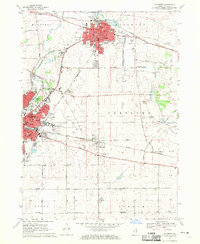
1968 · Sycamore
USGS Topo · 1:24,000
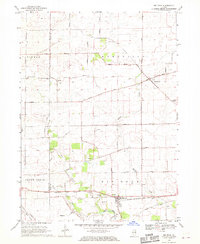
1968 · Big Rock
USGS Topo · 1:24,000