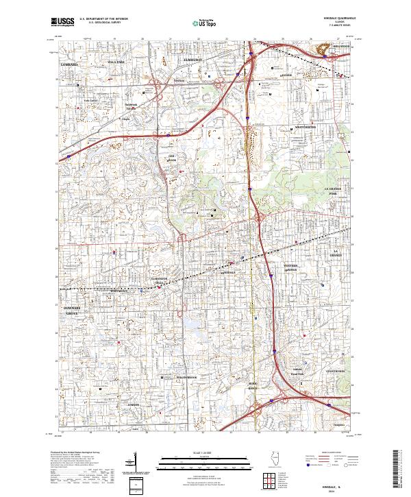
2024 Map of Hinsdale
USGS Topo · Published 2024About this map
Hinsdale and its surrounding western suburbs occupy this densely developed corridor where the historic BNSF Railway and major thoroughfares like Ogden Ave shaped the residential and commercial growth. The landscape is notably defined by its numerous memorial parks and religious burial grounds, ranging from the expansive Queen of Heaven Cem and Oakridge - Glen Oak Cem in the north to the Lyonsville Cem near Indian Head Park in the south. These sites, alongside local landmarks like Saint Johns Cem and Fullersburg Cem, provide significant touchstones for genealogical research in DuPage and Cook counties.
Find a feature on this map
102 named features on this map. Tap any name to fly to it.
Don’t see what you’re looking for? This feature index may not catch every label — zoom into the map to look around manually.
Map Details
Editions of this 2024 Hinsdale Map
This is the sole edition of this map. No revisions or reprints were ever made.
Other maps of this area

1890 · Des Plaines
USGS Topo · 1:62,500

1891 · Riverside
USGS Topo · 1:62,500

1892 · Joliet
USGS Topo · 1:62,500

1893 · Riverside
USGS Topo · 1:62,500

1894 · Des Plaines
USGS Topo · 1:62,500

1900 · Des Plaines
USGS Topo · 1:62,500

1900 · Riverside
USGS Topo · 1:62,500

1901 · Des Plaines
USGS Topo · 1:62,500

1901 · Riverside
USGS Topo · 1:62,500

1908 · Wheaton
USGS Topo · 1:62,500