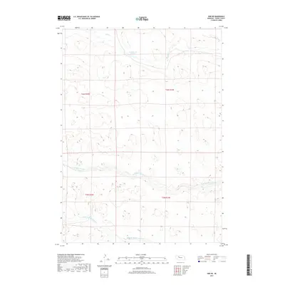
2017 Map of Hire NE
USGS Topo · Published 2017About this map
Hydrological systems define this portion of the Sandhills, where the N Br Middle Loup River and Middle Br Middle Loup River meander through the central and southern sections of the terrain. The landscape is characterized by its intricate drainage patterns and numerous small basins typical of the region's unique geology. To the north, Calf Cr feeds into the Cox Reservoir Number 1, indicating the vital role of water management in this sparsely populated cattle country. Surveyed by the U.S. Geological Survey, the map provides a clear look at the township and range divisions across T25N and T26N, highlighting the grid-based land distribution that has dictated ranch boundaries and access for over a century.
Find a feature on this map
8 named features on this map. Tap any name to fly to it.
Don’t see what you’re looking for? This feature index may not catch every label — zoom into the map to look around manually.
Map Details
Editions of this 2017 Hire NE Map
This is the sole edition of this map. No revisions or reprints were ever made.
Other maps of this area

1948 · Mullen
USGS Topo · 1:62,500

1949 · Big Falls
USGS Topo · 1:62,500

1950 · Hire
USGS Topo · 1:62,500

1950 · Wolf Lake
USGS Topo · 1:62,500

1951 · Mullen
USGS Topo · 1:62,500

1951 · Big Falls
USGS Topo · 1:62,500

1951 · Wolf Lake
USGS Topo · 1:62,500

1957 · Valentine
USGS Topo · 1:250,000

1959 · Valentine
USGS Topo · 1:250,000

1985 · Mullen
USGS Topo · 1:100,000