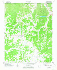
1971 Map of Hiwasse
USGS Topo · Published 1973About this map
Bella Vista and the surrounding Ozark foothills of Benton County appear here just as the planned community was expanding in the early 1970s. The landscape is defined by the sharp transition between the upland plateau around Hiwasse and the deeply incised valleys of Little Sugar Creek and Spavinaw Creek. This era shows the early development of recreational infrastructure, including Lake Avalon and the Bella Vista Country Club, juxtaposed against older rural landmarks like Keith Cem and Daniels Cem.
Find a feature on this map
28 named features on this map. Tap any name to fly to it.
Don’t see what you’re looking for? This feature index may not catch every label — zoom into the map to look around manually.
Map Details
Editions of this 1971 Hiwasse Map
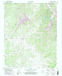
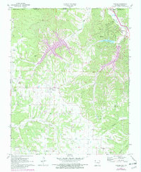
3 editions found
Other maps of this area

1899 · Fayetteville
USGS Topo · 1:125,000

1901 · Fayetteville
USGS Topo · 1:125,000

1904 · Fayetteville
USGS Topo · 1:125,000

1940 · Noel
USGS Topo · 1:62,500

1941 · Rocky Comfort
USGS Topo · 1:62,500

1943 · Noel
USGS Topo · 1:62,500

1943 · Rocky Comfort
USGS Topo · 1:62,500

1954 · Tulsa
USGS Topo · 1:250,000

1958 · Tulsa
USGS Topo · 1:250,000

1963 · Tulsa
USGS Topo · 1:250,000