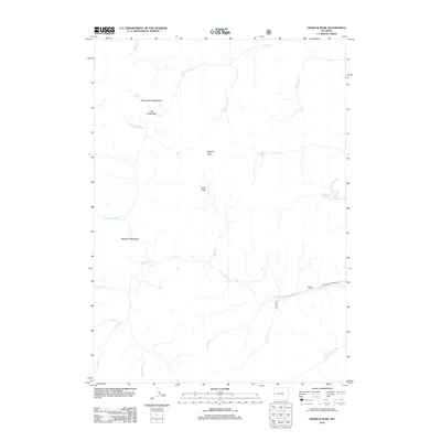
2012 Map of Hoback Peak
USGS Topo · Published 2012About this map
Hoback Peak serves as a central high point for this high-elevation wilderness in Wyoming, where a complex network of drainages flows toward the Hoback River. The landscape is defined by its seasonal meadows and high passes, including the notable Horse Heaven Meadows and Roosevelt Meadows. These names suggest a history of grazing or exploration in the backcountry long before modern mapping efforts.
Find a feature on this map
23 named features on this map. Tap any name to fly to it.
Don’t see what you’re looking for? This feature index may not catch every label — zoom into the map to look around manually.
Map Details
Editions of this 2012 Hoback Peak Map
This is the sole edition of this map. No revisions or reprints were ever made.
Other maps of this area

1907 · Gros Ventre
USGS Topo · 1:125,000

1910 · Gros Ventre
USGS Topo · 1:125,000

1921 · Afton
USGS Topo · 1:125,000

1931 · Jackson
USGS Topo · 1:125,000

1935 · Jackson
USGS Topo · 1:125,000

1939 · Big Piney
USGS Topo · 1:125,000

1942 · Big Piney
USGS Topo · 1:125,000

1955 · Driggs
USGS Topo · 1:250,000

1955 · Preston
USGS Topo · 1:250,000

1958 · Driggs
USGS Topo · 1:250,000