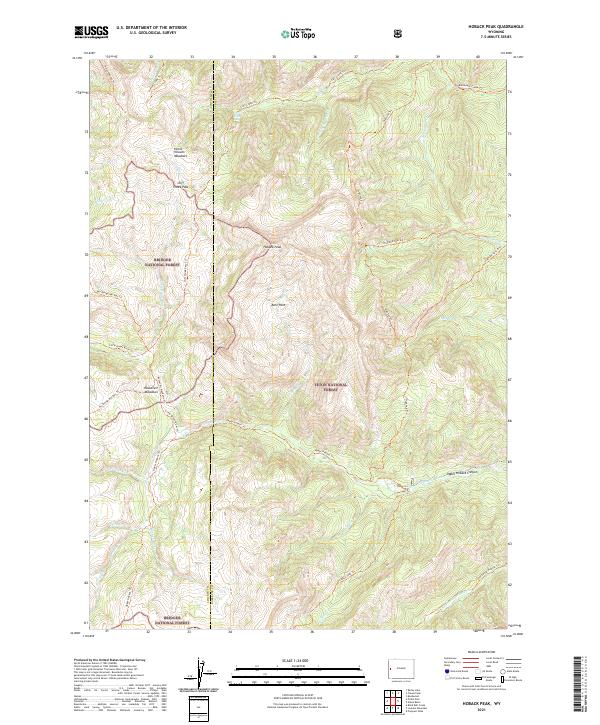
2021 Map of Hoback Peak
USGS Topo · Published 2021About this map
Hoback Peak serves as the prominent high point in this corner of the Wyoming high country, where the boundaries of Bridger National Forest and Teton National Forest meet. The landscape is defined by its drainage systems, including the Hoback River and the deeply incised Upper Hoback Canyon. A complex network of pack trails and forest paths, such as the Wy Range Nat Rec Trl and Highline Trl, crisscrosses the terrain, linking remote points like Bare Hole and Cliff Creek Pass. These routes historically provided access for early forestry management and grazing in high-altitude basins like Horse Heaven Meadows and Roosevelt Meadows. The map illustrates the headwaters of numerous streams, including Grizzly Cr and Hole-in-the-Wall Cr, flowing through the mountainous divide between Lincoln and Sublette counties.
Find a feature on this map
46 named features on this map. Tap any name to fly to it.
Don’t see what you’re looking for? This feature index may not catch every label — zoom into the map to look around manually.
Map Details
Editions of this 2021 Hoback Peak Map
This is the sole edition of this map. No revisions or reprints were ever made.
Other maps of this area

1907 · Gros Ventre
USGS Topo · 1:125,000

1910 · Gros Ventre
USGS Topo · 1:125,000

1921 · Afton
USGS Topo · 1:125,000

1931 · Jackson
USGS Topo · 1:125,000

1935 · Jackson
USGS Topo · 1:125,000

1939 · Big Piney
USGS Topo · 1:125,000

1942 · Big Piney
USGS Topo · 1:125,000

1955 · Driggs
USGS Topo · 1:250,000

1955 · Preston
USGS Topo · 1:250,000

1958 · Driggs
USGS Topo · 1:250,000