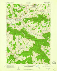
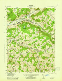
1945 Map of Hobart
USGS Topo · Published 1960About this map
The West Branch Delaware River carves a central corridor through this section of the Catskills, framing a landscape defined by high peaks and narrow valleys. The New York Central railroad tracks follow the river's path, connecting the village of Hobart to South Kortright, where the South Kortright Central Sch stands as a local landmark. Historically, this terrain dictated the placement of small rural communities like Bovina, which are tucked away near headwaters such as the Little Delaware River.
Find a feature on this map
38 named features on this map. Tap any name to fly to it.
Don’t see what you’re looking for? This feature index may not catch every label — zoom into the map to look around manually.
Map Details
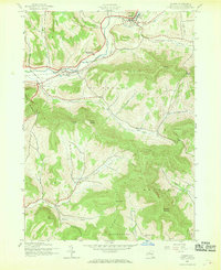
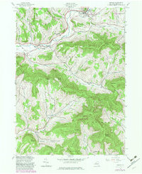
Editions of this 1945 Hobart Map
Other maps of this area

1901 · Margaretville
USGS Topo · 1:62,500

1904 · Hobart
USGS Topo · 1:62,500

1904 · Margaretville
USGS Topo · 1:62,500

1909 · Delhi
USGS Topo · 1:62,500

1911 · Delhi
USGS Topo · 1:62,500

1922 · Andes
USGS Topo · 1:62,500

1924 · Andes
USGS Topo · 1:62,500

1943 · Bloomville
USGS Topo · 1:24,000
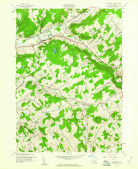
1943 · Davenport
USGS Topo · 1:24,000
1945 · Davenport
USGS Topo · 1:31,680