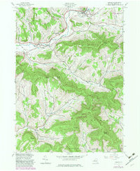
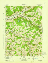
1945 Map of Hobart
USGS Topo · Published 1982About this map
Hobart sits at the northern edge of this Delaware County survey, where the West Branch Delaware River begins its winding course through the northern Catskills. The landscape is defined by deep valleys and high ridges like Lyon Mountain and Cowan Mountain, which dictated the early settlement patterns of South Kortright and Bovina. Educational history is well-preserved through labels for the South Kortright Central Sch, School No 14, and the Thompson Hollow Sch. Genealogists can locate family resting places at Locust Hill Cem, Valley View Cem, and Rose Brook Cem. Much of the southeastern portion of the quadrangle is occupied by the Plattekill State Forest, preserving the wooded character of Plattekill Mountain and Meeker Hollow.
Find a feature on this map
39 named features on this map. Tap any name to fly to it.
Don’t see what you’re looking for? This feature index may not catch every label — zoom into the map to look around manually.
Map Details
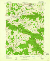
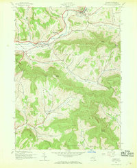
Editions of this 1945 Hobart Map
Other maps of this area

1901 · Margaretville
USGS Topo · 1:62,500

1904 · Hobart
USGS Topo · 1:62,500

1904 · Margaretville
USGS Topo · 1:62,500

1909 · Delhi
USGS Topo · 1:62,500

1911 · Delhi
USGS Topo · 1:62,500

1922 · Andes
USGS Topo · 1:62,500

1924 · Andes
USGS Topo · 1:62,500

1943 · Bloomville
USGS Topo · 1:24,000
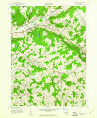
1943 · Davenport
USGS Topo · 1:24,000
1945 · Davenport
USGS Topo · 1:31,680