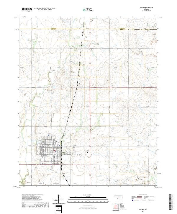
2022 Map of Hobart
USGS Topo · Published 2022About this map
Hobart serves as the focal point of this southwestern Oklahoma landscape, positioned near the boundary between Kiowa and Washita counties. The town’s civic center is anchored by the Kiowa County Courthouse, while the surrounding residential and commercial grid is defined by a series of numbered and named streets, including W Iris Ave and N Stadium Dr. On the western edge of the community, Hunter Lake provides a localized water source, while Little Elk Cr and Rainy Mountain Cr drain the broader agricultural plains.
Find a feature on this map
63 named features on this map. Tap any name to fly to it.
Don’t see what you’re looking for? This feature index may not catch every label — zoom into the map to look around manually.
Map Details
Editions of this 2022 Hobart Map
This is the sole edition of this map. No revisions or reprints were ever made.
Other maps of this area

1949 · Cooperton
USGS Topo · 1:62,500

1955 · Lawton
USGS Topo · 1:250,000

1955 · Clinton
USGS Topo · 1:250,000

1956 · Rainy Mountain Creek
USGS Topo · 1:24,000

1956 · Cooperton
USGS Topo · 1:62,500

1957 · Clinton
USGS Topo · 1:250,000

1961 · Gotebo
USGS Topo · 1:62,500

1961 · Hobart
USGS Topo · 1:62,500

1963 · Babbs
USGS Topo · 1:24,000

1964 · Lone Wolf
USGS Topo · 1:24,000