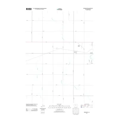
2013 Map of Hobarton
USGS Topo · Published 2013About this map
The agricultural landscape of Kossuth County unfolds in this 2013 survey, centered on the unincorporated community of Hobarton. Situated west of the city of Algona, the area is defined by a rigorous section-line road grid that supports the region's farming economy. Waterways such as Fourmile Creek and Hine Creek cut across the geometric fields, providing natural drainage toward the E Fork Des Moines River which clips the eastern edge of the map. Transport and commerce are concentrated along the corridor of US Highway 18 and the adjacent rail line. Near the eastern border, the Algona Municipal Airport and the residential developments of Timber Ests and Woodlyn Ave indicate the modern expansion of the neighboring county seat into the surrounding prairie.
Find a feature on this map
28 named features on this map. Tap any name to fly to it.
Don’t see what you’re looking for? This feature index may not catch every label — zoom into the map to look around manually.
Map Details
Editions of this 2013 Hobarton Map
This is the sole edition of this map. No revisions or reprints were ever made.
Other maps of this area

1954 · Fairmont
USGS Topo · 1:250,000

1954 · Fort Dodge
USGS Topo · 1:250,000

1957 · Fort Dodge
USGS Topo · 1:250,000

1958 · Fort Dodge
USGS Topo · 1:250,000

1958 · Fairmont
USGS Topo · 1:250,000

1972 · Algona
USGS Topo · 1:24,000

1972 · St. Joseph
USGS Topo · 1:24,000

1972 · Burt
USGS Topo · 1:24,000

1980 · Lone Rock
USGS Topo · 1:24,000

1980 · Fenton
USGS Topo · 1:24,000