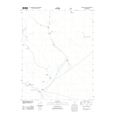
2012 Map of Hobble Canyon
USGS Topo · Published 2012About this map
Industrial history and ranching outposts define this high-desert landscape in Nye County. The presence of the Old Dominion Stamp Mill near Hot Creek Canyon points to a legacy of mineral processing, while several historic kiln sites, including the Sixmile Canyon Kilns and Fourmile Canyon Kilns, suggest early resource extraction and charcoal production. These ruins are clustered along the drainage systems of Sixmile Canyon and Fourmile Canyon, where seasonal water sources were vital for operations.
Find a feature on this map
35 named features on this map. Tap any name to fly to it.
Don’t see what you’re looking for? This feature index may not catch every label — zoom into the map to look around manually.
Map Details
Editions of this 2012 Hobble Canyon Map
This is the sole edition of this map. No revisions or reprints were ever made.
Other maps of this area

1956 · Tonopah
USGS Topo · 1:250,000

1959 · Tonopah
USGS Topo · 1:250,000

1962 · Tonopah
USGS Topo · 1:250,000

1967 · Lunar Crater
USGS Topo · 1:62,500

1967 · Moores Station
USGS Topo · 1:62,500

1967 · Blue Jay Spring
USGS Topo · 1:24,000

1967 · Upper Fish Lake
USGS Topo · 1:24,000

1967 · Palisade Mesa
USGS Topo · 1:24,000

1967 · Moores Station
USGS Topo · 1:24,000

1967 · Morey Peak
USGS Topo · 1:24,000