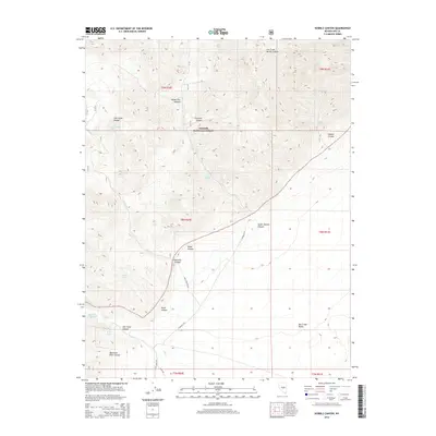
2014 Map of Hobble Canyon
USGS Topo · Published 2014About this map
Hot Creek Range dominates this portion of the Great Basin, where high-altitude peaks and deep drainage systems define the landscape within the Toiyabe National Forest. The map centers on the high desert hydrologic network, anchored by the presence of Hot Creek Ranch Spring and Upper Hot Creek Ranch Spring at the base of the mountains. These water sources have long been critical for survival and ranching operations in this arid environment. The terrain transitions from the steep, rugged slopes of Hot Creek North Summit down into the broader expanses of Hot Creek Valley and the curiously named Pott Hole Valley. Numerous canyons, such as Wood Tick Canyon, South Sixmile Canyon, and Hobble Canyon, serve as the primary conduits for seasonal runoff and access into the interior of the range via primitive routes like Hot Creek Rd and S Sixmile Cyn.
Find a feature on this map
30 named features on this map. Tap any name to fly to it.
Don’t see what you’re looking for? This feature index may not catch every label — zoom into the map to look around manually.
Map Details
Editions of this 2014 Hobble Canyon Map
This is the sole edition of this map. No revisions or reprints were ever made.
Other maps of this area

1956 · Tonopah
USGS Topo · 1:250,000

1959 · Tonopah
USGS Topo · 1:250,000

1962 · Tonopah
USGS Topo · 1:250,000

1967 · Lunar Crater
USGS Topo · 1:62,500

1967 · Moores Station
USGS Topo · 1:62,500

1967 · Blue Jay Spring
USGS Topo · 1:24,000

1967 · Upper Fish Lake
USGS Topo · 1:24,000

1967 · Palisade Mesa
USGS Topo · 1:24,000

1967 · Moores Station
USGS Topo · 1:24,000

1967 · Morey Peak
USGS Topo · 1:24,000