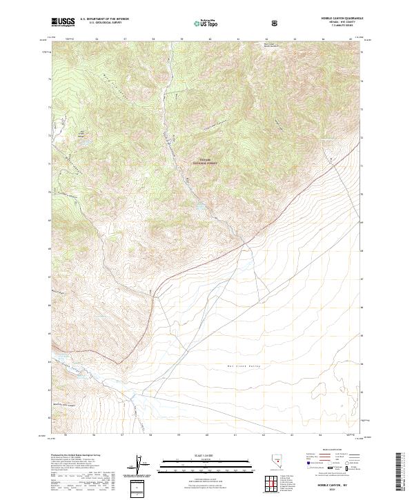
2021 Map of Hobble Canyon
USGS Topo · Published 2021About this map
Hot Creek Ranch and Upper Hot Creek Ranch sit at the transition between the high peaks of the Hot Creek Range and the wide Hot Creek Valley. This area of Nye County is defined by its vital water sources, including Bullwhacker Spring, Hot Creek Spring, and Hobble Spring, which historically supported the isolated ranching operations of the Great Basin. Deep canyons like Wood Tick Canyon, Charcoal Canyon, and South Sixmile Canyon cut through the rugged landscape of the Toiyabe National Forest, tracing the drainage patterns toward Hot Creek. Modern access is provided by Hot Creek Road and 9 Mile Road, which navigate the foothills and alluvial fans. The map reveals a landscape where survival and settlement are dictated by the proximity to reliable springs and the protective shelter of the high summits, such as Hot Creek North Summit.
Find a feature on this map
31 named features on this map. Tap any name to fly to it.
Don’t see what you’re looking for? This feature index may not catch every label — zoom into the map to look around manually.
Map Details
Editions of this 2021 Hobble Canyon Map
This is the sole edition of this map. No revisions or reprints were ever made.
Other maps of this area

1956 · Tonopah
USGS Topo · 1:250,000

1959 · Tonopah
USGS Topo · 1:250,000

1962 · Tonopah
USGS Topo · 1:250,000

1967 · Lunar Crater
USGS Topo · 1:62,500

1967 · Moores Station
USGS Topo · 1:62,500

1967 · Blue Jay Spring
USGS Topo · 1:24,000

1967 · Upper Fish Lake
USGS Topo · 1:24,000

1967 · Palisade Mesa
USGS Topo · 1:24,000

1967 · Moores Station
USGS Topo · 1:24,000

1967 · Morey Peak
USGS Topo · 1:24,000