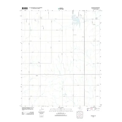
2012 Map of Hocker
USGS Topo · Published 2012About this map
Elk City Oil Field dominates the central landscape of this Beckham County quadrangle, reflecting the region's enduring energy industry. This 2012 survey captures a rural Oklahoma terrain defined by a systematic grid of section roads like E1140 Rd and N1960 Rd, which connect the small settlement of Hocker to neighboring agricultural lands. The northern reach of the map features the Elk City Reservoir, a significant water body fed by W Elk Cr, providing a distinct contrast to the surrounding prairie. Genealogists and local historians can find vital markers of the community’s past at the Bellview Cem and Urai Cem. The drainage patterns of Sadler Cr and Indian Cr carve through the southern sections, illustrating the natural watershed that has shaped local land use and development for generations.
Find a feature on this map
34 named features on this map. Tap any name to fly to it.
Don’t see what you’re looking for? This feature index may not catch every label — zoom into the map to look around manually.
Map Details
Editions of this 2012 Hocker Map
This is the sole edition of this map. No revisions or reprints were ever made.
Other maps of this area

1955 · Clinton
USGS Topo · 1:250,000

1957 · Clinton
USGS Topo · 1:250,000

1960 · Sayre
USGS Topo · 1:62,500

1961 · Willow
USGS Topo · 1:62,500

1961 · Retrop
USGS Topo · 1:62,500

1961 · Elk City
USGS Topo · 1:62,500

1985 · Elk City
USGS Topo · 1:100,000

1987 · Elk City
USGS Topo · 1:24,000
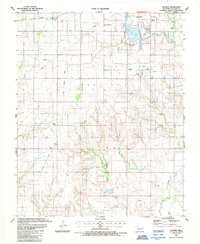
1987 · Hocker
USGS Topo · 1:24,000
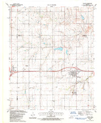
1987 · Canute
USGS Topo · 1:24,000