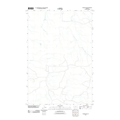
2011 Map of Hodges SW
USGS Topo · Published 2011About this map
Eastman Creek and its various tributaries cut through this portion of Dawson County, revealing a landscape defined by drainage patterns and early 21st-century water management. The presence of the Gibson Ditch suggests a history of local irrigation efforts to support ranching or agriculture in this prairie environment. Transportation is represented by the isolated path of Pine Unit Rd, which serves as a primary artery through the sparsely settled area. To the east and north, the headwaters of South Fork Horse Creek and Wolf Creek mark the natural hydrology of the region as it was documented in the early 2010s by the U.S. Geological Survey.
Find a feature on this map
5 named features on this map. Tap any name to fly to it.
Don’t see what you’re looking for? This feature index may not catch every label — zoom into the map to look around manually.
Map Details
Editions of this 2011 Hodges SW Map
This is the sole edition of this map. No revisions or reprints were ever made.
Other maps of this area

1953 · Miles City
USGS Topo · 1:250,000

1957 · Miles City
USGS Topo · 1:250,000

1958 · Miles City
USGS Topo · 1:250,000

1967 · Twin Forks Reservoir
USGS Topo · 1:24,000

1981 · Ayer Spring NE
USGS Topo · 1:24,000

1981 · Cap Rock
USGS Topo · 1:24,000

1981 · Rocking Chair Butte
USGS Topo · 1:24,000

1981 · Wibaux
USGS Topo · 1:100,000
1982 · Hodges SE
USGS Topo · 1:24,000

1982 · Hodges
USGS Topo · 1:24,000