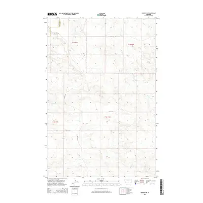
2014 Map of Hodges SW
USGS Topo · Published 2014About this map
The rolling hills of eastern Montana are defined by the convergence of several drainages and irrigation infrastructure along the border of Dawson and Wibaux counties. Much of the water management in this landscape is anchored by the Gibson Ditch, which cuts across the central townships to support agricultural efforts. This system of water distribution is supplemented by natural drainages like Eastman Cr and the S Fork Horse Cr, forming a network that dictates the placement of early ranching roads. The transportation pattern remains sparse, dictated by the terrain, with routes such as Sand Creek Rd and Pine Unit Rd connecting isolated homesteads and pastures. To the north, Wolf Cr passes through the high ground, while more modern additions like Bar Nothing Dr indicate the slow evolution of local rural access.
Find a feature on this map
9 named features on this map. Tap any name to fly to it.
Don’t see what you’re looking for? This feature index may not catch every label — zoom into the map to look around manually.
Map Details
Editions of this 2014 Hodges SW Map
This is the sole edition of this map. No revisions or reprints were ever made.
Other maps of this area

1953 · Miles City
USGS Topo · 1:250,000

1957 · Miles City
USGS Topo · 1:250,000

1958 · Miles City
USGS Topo · 1:250,000

1967 · Twin Forks Reservoir
USGS Topo · 1:24,000

1981 · Ayer Spring NE
USGS Topo · 1:24,000

1981 · Cap Rock
USGS Topo · 1:24,000

1981 · Rocking Chair Butte
USGS Topo · 1:24,000

1981 · Wibaux
USGS Topo · 1:100,000
1982 · Hodges SE
USGS Topo · 1:24,000

1982 · Hodges
USGS Topo · 1:24,000