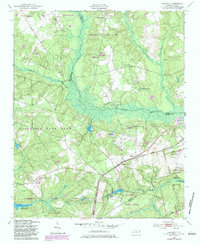
1949 Map of Hoffman
USGS Topo · Published 1983About this map
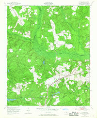
Hoffman serves as the central hub of this Sandhills landscape, situated where the Seaboard Coast Line railroad intersects the regional road network. The map reveals a community deeply integrated with the surrounding Sandhills Game Land, punctuated by numerous country churches such as Macedonia Ch and New Bethel Ch. The presence of the Morrison Training Sch and the Camp Mackall Military Reservation indicates the significant institutional and military footprint on the land during the mid-twentieth century. Water resources are prominent, with the McKinney Lake Fish Hatchery and several named bodies like Rankin Lake and Big Crappie Lake providing both utility and recreation. Local history is preserved through family-named landmarks like Watson Cem and Blue Cem, which offer touchpoints for genealogical research in Richmond and Moore counties.
Find a feature on this map
38 named features on this map. Tap any name to fly to it.
Don’t see what you’re looking for? This feature index may not catch every label — zoom into the map to look around manually.
Map Details
Editions of this 1949 Hoffman Map
3 editions found
Other maps of this area

1942 · Troy
USGS Topo · 1:125,000

1942 · Rockingham
USGS Topo · 1:125,000

1948 · Southern Pines
USGS Topo · 1:62,500

1948 · Pinebluff
USGS Topo · 1:24,000

1949 · Millstone Lake
USGS Topo · 1:24,000

1949 · Silver Hill
USGS Topo · 1:24,000

1949 · West End
USGS Topo · 1:24,000

1949 · Hoffman
USGS Topo · 1:24,000

1949 · Marston
USGS Topo · 1:24,000

1949 · Hamlet
USGS Topo · 1:24,000