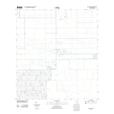
2012 Map of Hog Cypress
USGS Topo · Published 2012About this map
Airglades Airport sits in the northern reaches of this Hendry County landscape, anchoring a strictly rectilinear grid of drainage canals and access roads characteristic of Florida's interior agricultural development. The terrain is dominated by this organized hydrologic system, where deep-cut channels like those along Flaghole Rd and Southland Dr define the land usage. To the south, the settlement pattern shifts into the dense residential street network of Montura, organized around thoroughfares such as Taft Blvd and Woodland Dr.
Find a feature on this map
62 named features on this map. Tap any name to fly to it.
Don’t see what you’re looking for? This feature index may not catch every label — zoom into the map to look around manually.
Map Details
Editions of this 2012 Hog Cypress Map
This is the sole edition of this map. No revisions or reprints were ever made.
Other maps of this area

1956 · West Palm Beach
USGS Topo · 1:250,000

1957 · West Palm Beach
USGS Topo · 1:250,000

1958 · West Palm Beach
USGS Topo · 1:250,000

1970 · Moore Haven
USGS Topo · 1:24,000

1970 · Lake Harbor SW
USGS Topo · 1:24,000

1970 · Clewiston South
USGS Topo · 1:24,000

1970 · La Belle 4 SE
USGS Topo · 1:24,000

1970 · La Belle 4 NW
USGS Topo · 1:24,000

1970 · La Belle 4 NE
USGS Topo · 1:24,000

1971 · La Belle 4 SW
USGS Topo · 1:24,000